Topic: plano
-

What is plot subdivision in Spain: requirements and steps
What subdividing a property (segregación) means in Spain, how it differs from merging or dividing, what to confirm first and the technical steps.
-

Swimming pool not in the Cadastre: what to do in Spain
Your pool is missing from the Spanish Cadastre. Why it is worth declaring, what we measure on the plot and which plan the surveyor prepares.
-

Files a land surveyor delivers: DWG, GML, PDF and more
What each file you receive after a topographic survey is, what it is for and who uses it: points in TXT or CSV, plans in DWG or DXF, SHP, GML, IVGA, ICUC and PDF.
-
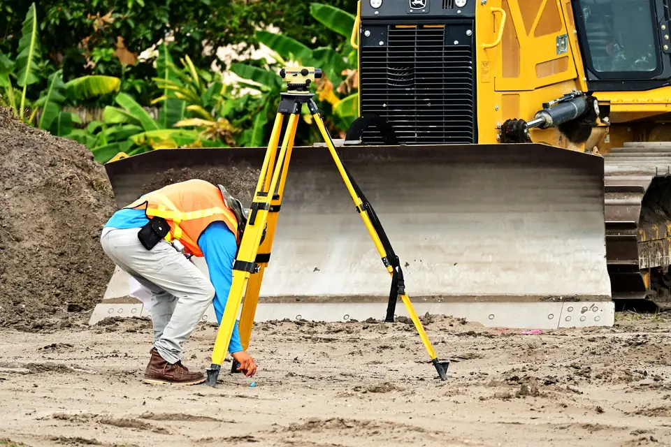
Longitudinal profiles and cross sections explained
What longitudinal profiles and cross sections of the ground are for, how we measure them and what the architect receives to set levels, access routes and walls.
-

Why a 3D model: the digital twin of a historic façade
Photogrammetry with a metric camera and classical land surveying to obtain the 3D model and the plan of a historic façade before designing its restoration.
-

Topographic plan for an architect: what it includes
Buildings, pool, walls, steps, trees, services, inspection chambers and contour lines: what a topographic plan must show to design on a plot.
-
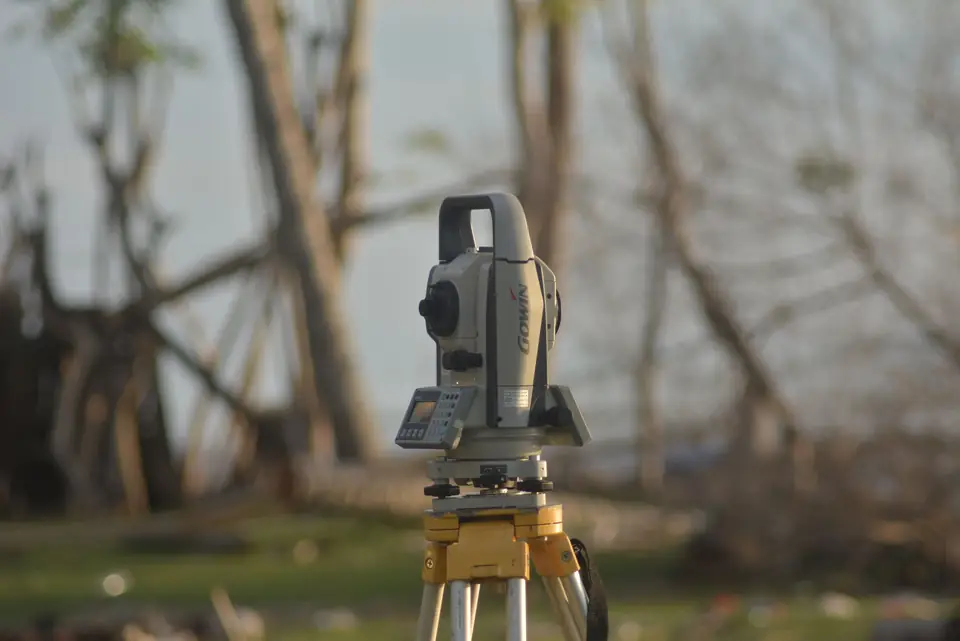
Topographic survey cost: what affects the price
Size, precision, density of levels, access and deliverables: what changes the price of a topographic survey, with indicative price ranges by type of job.
-
Site topographic surveys: what is measured, step by step
Surveys, setting out, geometric control, DTM and DSM, LiDAR, orthophotos, profiles and volumes: the measurements a construction project needs, one by one.
-
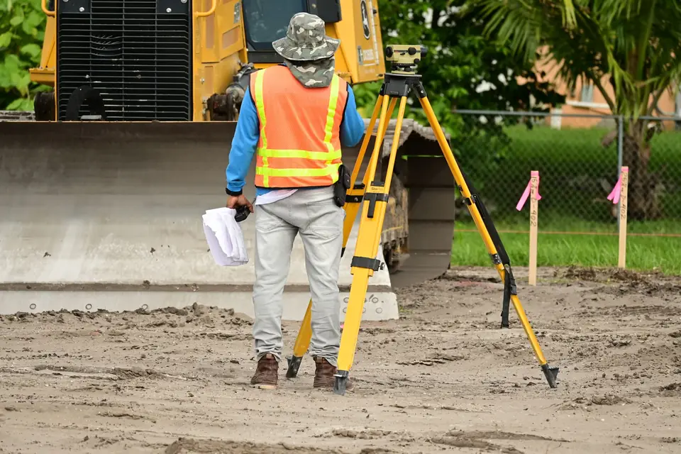
My plot does not match the title deed: a case
We measured a plot with and without the planter on its edge and compared it with the Cadastre, the Land Registry and the title deed to find the true boundaries.
-
3D modelling of a warehouse: optimising storage space
Clotoides uses 3D modelling to model your warehouse so that you can optimise its space and maximise performance.
-
Land Registry: how to update your plot's surface area
Clotoides prepares the survey work needed to update a plot in the Spanish Land Registry when the registered area does not match the real one.
-
Structural monitoring: what it is and what it is for
Structural monitoring (auscultación) by Clotoides land surveyors detects deformation, movement and cracking in a construction before it is too late.
-
Certifying the surface area of a plot in Spain
Certify the surface area of a property in Spain: Clotoides measures the real boundaries and issues a surveying certificate with legal validity.
-
Urban planning compatibility certificate: how to get it
We help you with the urban planning compatibility certificate (certificado de compatibilidad urbanística) that town councils require for an opening licence.
-
Survey coordinates: UTM, ETRS89 and geographic
What UTM and geographic coordinates are, what zone 30 and ETRS89 mean, how to convert between them and when the Cadastre asks for them. With an example near Xàtiva.
-
Responsible declaration for building works in Spain
Planning renovations? We help you obtain the responsible declaration for building works (declaración responsable de obra) by certifying the buildings on your plot.
-
Construction control and volume calculation
At Clotoides we specialise in construction control: volume calculations and monitoring surveys to track each stage of the works and justify monthly certifications.
-
Boundary demarcation (deslinde): avoiding disputes
We carry out the boundary demarcation (deslinde) of properties: precise topographic measurements that mark a property against its neighbouring plots.
-

Cadastre procedures in Spain: how to deal with them
Cadastre procedures in Spain are handled through the Cadastre website. For technical procedures, a land surveyor such as Clotoides can help you.
-
Cadastral discrepancies: how a land surveyor helps
We carry out the precise technical work needed to prepare the documentation that corrects discrepancies in your cadastral data.
-
Landfill surveying: better landfill management
Landfill monitoring and management rely on topographic surveys to control the volume of waste deposited, from the design phase to the final sealing of the site.
-
Land expropriation in Spain: how a surveyor checks it
Our surveying services help to verify that the expropriation of a property has been carried out correctly, with a report that has evidential value.
-
Georeferenced plan: what it is and when it is required
What a georeferenced plan is, when the Cadastre or the Land Registry ask for one, what it contains and what documents the surveyor needs. A guide before you hire.
-
Expert surveying report: what it is and who does it
Clotoides is a technical office experienced in expert surveying reports (peritación topográfica), using the latest technology to carry out the work.
-
Building permits in Spain: major and minor works
Clotoides carries out the georeferenced topographic survey you need to obtain a building permit (licencia de obra) from the local council for major or minor works.
-
Industrial surveying: buildings, pipes and machinery
What industrial surveying involves: setting out industrial buildings, surveying existing plant, pipes and machinery, extensions and checking the works.
-
Cartography in Spain: from ED50 to ETRS89
Cartography in Spain: how mapping has evolved from the ED50 reference system to ETRS89, and why Clotoides transforms maps to meet Spanish and European rules.
-
Topography in agriculture: land surveying in farming
Topography in modern agriculture helps farmers understand the land and design efficient cropping systems: irrigation, crop selection, terraces and fertiliser.
-
Topography for architecture: point clouds and BIM
Clotoides uses advanced surveying techniques for architecture, making a difference and maximising a project's chances of success: 3D point clouds, modelling and BIM.
-
Topography in construction: how terrain shapes a project
With a survey and a digital terrain model you can plan construction on solid data. Foundations, structure, drainage and landscaping all depend on the terrain.
-
GML file and georeferencing for the Spanish Cadastre
Clotoides prepares the GML file and the georeferencing required to obtain the graphic validation report and update your parcel in the Spanish Cadastre.
-
Major works licence in Spain: what it is, how to apply
Clotoides carries out the technical work needed to obtain a major works licence, including the topographic survey and the georeferenced plan of the site.
-
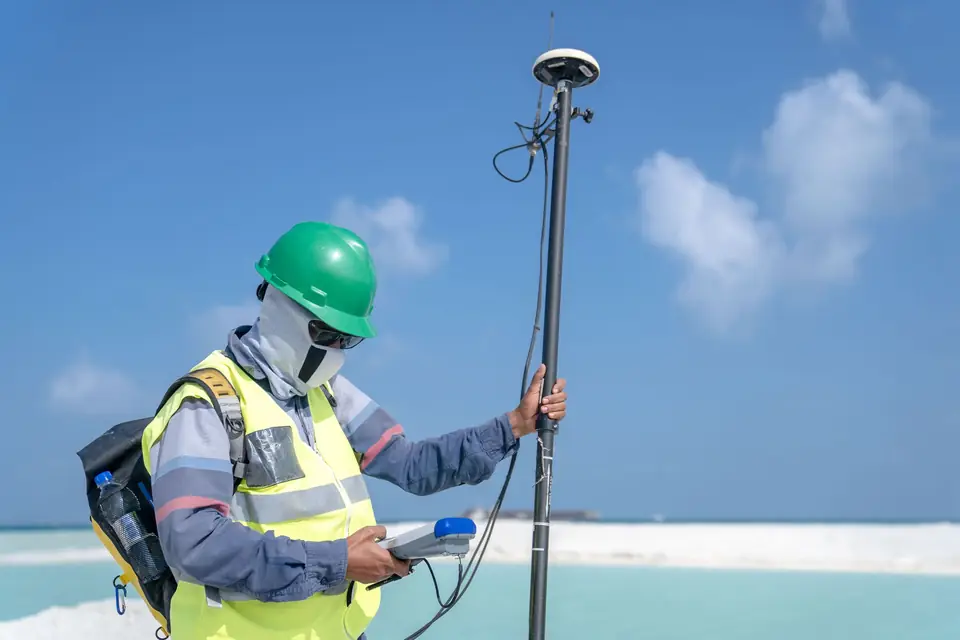
Accurate topographic plans made by a land surveyor
Clotoides has the precision technology and the experience needed to produce accurate and rigorous topographic plans.
-
Alignment and level report: what the LOE requires
Clotoides prepares the alignment and level report (informe de alineaciones y rasantes) that the authorities require before building works begin.
-
Graphic validation report: what it is and what it is for
Clotoides carries out the survey work, analysis and plans needed to obtain the graphic validation report required by the Cadastre and the Land Registry in Spain.
-
Garden design and topography: why the terrain matters
Clotoides helps you obtain the topography of your land as the basis for garden design. Slopes, sun exposure, drainage and accessibility all depend on the terrain.
-
Topographic survey before a renovation: why do it
Clotoides carries out a topographic survey before a renovation or refurbishment so that the works are planned on precise and detailed data about the site.
-
Landscape integration study: the territorial analysis
We use advanced techniques for collecting and processing territorial information to prepare the analysis behind a landscape integration study.
-

How to choose a land surveying company: what to look for
How to choose a land surveying company: Clotoides explains what to consider, from equipment and services to prices, customer service, licences and insurance.
-
Property encroachment in Spain: how to check
Contact Clotoides and we will survey and mark the boundaries of your plot so that you can prevent any encroachment or boundary dispute with a neighbour.
-
Save money on construction by measuring first
Topographic survey tips to save money on construction: how to reduce costs without sacrificing quality and get the project right the first time.
-

Measure a property before buying it: why it matters
Measuring a property before buying helps to minimise the risk of an investment and to identify and resolve problems before they arise.
-
Topographic survey for construction: why it matters
A topographic survey fixes the base of a building or structure with precision. Plan, assess risks, meet legal requirements and avoid unnecessary extra costs.
-
Certificate of completion of works: why it matters
Certificate of completion of works (certificado final de obra): how a topographic survey by Clotoides helps you complete the paperwork for a new build.
-
Fencing your plot: why a boundary survey should come first
Clotoides helps you determine the boundary of your land so that you can fence your plot with the certainty of doing it precisely and respecting the property limits.
-
IBI property tax: when measuring your plot helps
Clotoides helps to correct cadastral errors that lead to an overcharge on your IBI (annual property tax) bill.
-
GML file for the Cadastre: what it is and how it works
What a GML file is, why the Cadastre asks for it, what it contains, in which formats a surveyor delivers it and which programs open it.
-
Land surveying tools: software and file formats
Topographic surveys, plot measurement and setting out on site require a command of a set of land surveying tools: CAD, GIS and file formats such as CSV and GML.
-
Surveying equipment: total station, GNSS and drone
Which instruments a surveyor uses: total station, GNSS RTK, level, drone and LiDAR. What each one measures and when it is used on a real job.
-
Land surveyor in Xàtiva: what is measured in la Costera
Land surveying in Xàtiva: what we measure in la Costera to define boundaries, areas and the exact position of buildings.
-
Georeferenced plot measurement: an introduction
What georeferenced plot measurement is, what it is for in procedures with the authorities and which topics this land surveying blog covers.
-
Notary, Land Registry and Cadastre: who does what
Clotoides prepares the technical reports the notary needs to coordinate the information held by the Land Registry (Registro de la Propiedad) and the Cadastre.
Tell us about your case
Do you have a similar case?
Tell us about it with the cadastral reference. We will look at it, tell you what work is needed and prepare a quote.
- Xàtiva
- C/ Ballesters Navarresos, 7 · 46800 Xàtiva
- Xàbia
- C/ Ausiàs March, 2 · 03730 Xàbia
- or write to
- hola@clotoides.com