Technology: from the measurement to the file you open in your software
What we measure with, how we process the data and the formats we deliver it in. So you know what lies behind every plan and can ask for exactly what your architect or engineer needs.
Data capture
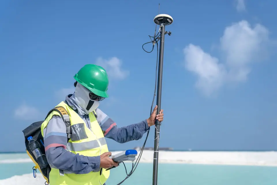
Survey data capture with GNSS RTK, total station, RTK drone and LiDAR. We choose the method to suit the property, the accuracy and how the data will be used.
02Software and geospatial processing
We process field data with CAD, GIS, photogrammetry and LiDAR software, with technical checks before delivering plans, maps and 3D models.
03Formats and deliverables
We deliver survey plans and data in DWG, GML, SHP, GeoTIFF and LAS, ready for your CAD, GIS or modelling software and for the Cadastre and Land Registry.


Tell us about your case
We review the paperwork and tell you what is needed.
Cadastral reference, what you want to do and by when. We look at the case and reply with a proposal and a quote.
- Xàtiva
- C/ Ballesters Navarresos, 7 · 46800 Xàtiva
- Xàbia
- C/ Ausiàs March, 2 · 03730 Xàbia
- or write to
- hola@clotoides.com