Vicent Doménech deals with you and is responsible for your job
I am Vicent Doménech, geodesy and cartography engineer and the person responsible for Clotoides.
Before measuring anything, I want to understand what you need to resolve: buying a plot, preparing a project, clearing up a difference in area or putting a property's paperwork in order.
I review the information available, explain what is worth checking and prepare a proposal with the scope and the timescales. I work from Xàtiva and Xàbia, dealing with you directly and preparing documentation suited to the people who are going to use it.
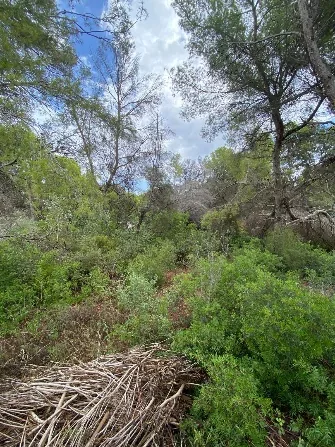
The title deed says one thing, the Cadastre another and the dry-stone wall a third. It happens more often than you would think, especially with inherited plots and 1970s urbanisations. Tell us who you are: we look at your case and propose the work that is needed.
You are about to buy a villa, you have inherited some terraced land or you want to put up a fence without arguing with the neighbour. Before you sign anything, we measure how big the property really is and where its boundaries are, and explain what is worth resolving.
A sale goes more smoothly when the area and the boundaries are clear before anyone signs. We measure the property, compare it with the title deed and the Cadastre, and explain any differences to the buyer, the seller and their surveyors and lawyers.
Reports signed by Vicent Doménech, chartered surveyor (colegiado) no. 8948 and responsible for your instruction, written to be understood in a case file, a deed or a courtroom. We say what the measurement proves and also what it does not.
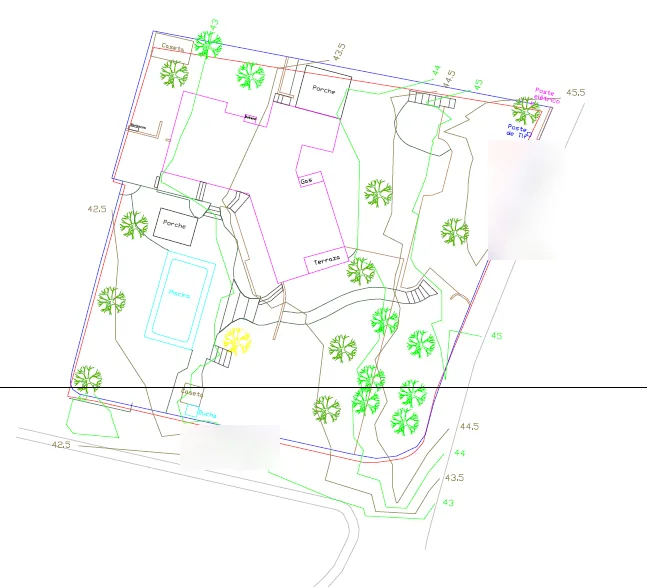
On a hillside villa, one level taken wrongly shifts the whole design. We measure terraces, walls, accesses, trees and what is already built, and deliver it with the layers and in the format your practice uses.
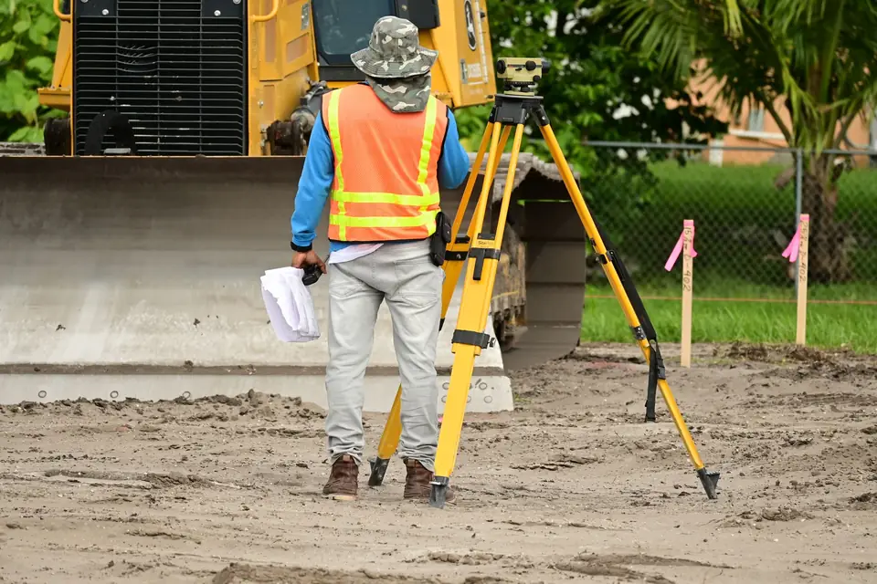
Setting out, geometric control and volume calculations at every stage of the works. We come when the site management team's schedule says so and we put in writing what has been marked out and what has been measured.
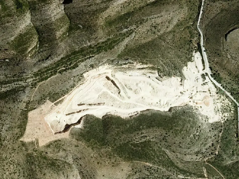
When the area is counted in hectares (a solar farm, a power line, an industrial estate, a road or a railway) we fly with drone and LiDAR and tie it to ground control. That gives the orthophoto, the terrain model and the analyses the project needs.
From Xàtiva and Xàbia we reach the whole coast of Valencia and Alicante and inland in both provinces. Further north, Castellón; further south, the Murcia coast; inland, Albacete. And projects across Spain and Europe.
What people ask us on site, explained calmly: what to measure before you sign a purchase, why a plot does not measure what the deed says, or what the architect needs.