Topographic survey · · Updated on
Measure a property before buying it: why it matters
Measuring a property before buying helps to minimise the risk of an investment and to identify and resolve problems before they arise.

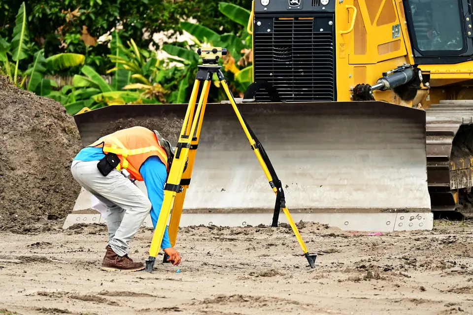
Having a topographic survey carried out before buying a property is an important part of the due diligence process in a property purchase. Measuring the property essentially means producing a detailed map of it showing its topography, physical features and precise boundaries. These maps are produced by professional land surveyors and are used to measure and record the physical features of the land, such as elevation, gradient, bodies of water and the natural or man-made obstacles on the property.
Why measure a property before buying
First of all, the topographic survey provides vital information about potential problems with the property, such as flooding, soil erosion and other drainage issues. A topographic plan can help to assess whether building on the property is feasible, as well as to plan the future use of the land.
Boundaries and mortgage lenders
Another important reason for obtaining a topographic survey before buying a property is to avoid any dispute over the property boundaries. Accurate mapping provides a detailed description of the boundaries of the property. This can be especially important in urban areas.
Mortgage lenders often require a topographic survey before approving the money for a property purchase. The information obtained from these precise plans can help them to assess the risk associated with the property and to decide how much money they are prepared to lend.
In short, engaging a land surveyor before buying a property is an important investment. The precise information obtained through a topographic survey can help to identify and avoid potential problems, and also provides a detailed description of the boundaries of the property.
Tags catastrodeslindegeorreferenciacionibilevantamiento topograficoplanopropiedadtopografia
Written by Vicent Doménech, geodesy and cartography engineer, chartered surveyor no. 8948.