Land surveyor in Benidorm
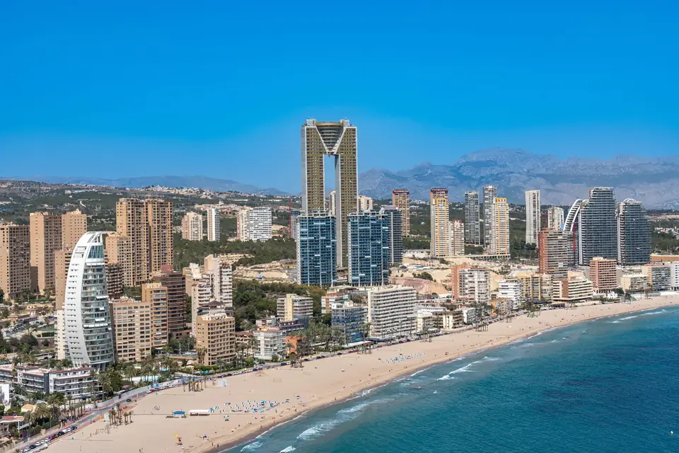
Benidorm is a vertical city in a small municipality, and that changes the work. Here we measure more building plots between party walls, existing buildings and high-rise sites than rural properties. As land surveyors in Benidorm we work with developers, builders and architecture studios, and also with the owners of the houses that remain on the hillsides of the sierra.
- Land surveying services in Benidorm
- Surveys of plots and buildings
- Structural setting out
- Geometric and verticality control
- Excavation volume calculation
- Movement monitoring on party walls
- Areas for Cadastre and Land Registry
- Nearest office
- C/ Ausiàs March, 2, 03730 Xàbia (Alicante)
Plots between party walls and high-rise construction
On a Benidorm building plot the margin for error is minimal. The building has to fit the planning alignments, the neighbour's party wall and an excavation several basement levels deep. Before the project we survey the plot together with the adjoining façades, the street levels and the service connections. During construction we set out axes, columns and floor slabs storey by storey.
On tall towers we also check the verticality of the core and the façades, and we keep a record of every check. That is what the site management team needs to sign off with peace of mind.
Excavations and retaining structures: measuring what is dug out
Digging basements next to occupied buildings calls for monitoring. We survey the ground before work begins, calculate the volume of the excavation as the difference between two surfaces and, if the project requires it, place control points on party walls and diaphragm walls to detect any movement during construction. The readings are dated and signed.
When the builder needs it, we measure in phases to separate what was excavated in each type of ground, which is not paid at the same rate. That way the progress certificates come from a measurement, not from an estimate.
Topographic surveys of existing buildings in Benidorm
In an owners' association (comunidad de propietarios), or when a commercial unit or a penthouse is sold, the area in the title deed and the one in the Cadastre (Catastro, Spain's land and property register for tax purposes) are not always the built area. We measure the floor plan, separate usable and built area and prepare the documentation to correct the Cadastre or for the notary's office.
If an enclosed terrace or an undeclared rooftop extension turns up, we explain how it is usually resolved and which document is needed in each case.
Houses on the slopes, away from the towers
Benidorm also has detached houses on sloping ground, next to the Serra Gelada natural park and in the rural districts (partidas) that border l'Alfàs del Pi and La Nucia. There the work is closer to that of the Marina Alta: plots with walls, boundaries that need checking and plans to renovate or extend.
Many of those houses were bought decades ago and are now being inherited by children who live elsewhere and discover that the pool or the enclosed porch does not appear anywhere. We measure what has been built, date it with historical aerial photographs and prepare the cadastral building location report (ICUC) and the certificate of age where appropriate.
Typical cases in Benidorm
A builder who needs setting out and geometric control of a residential tower throughout the structure. A studio about to design on a plot with two party walls that needs the exact street levels. An owners' association in dispute with the neighbouring building over the position of a wall. An owner selling a penthouse who discovers that the covered terrace is not in the Cadastre.
Official cadastral map
Benidorm, plot by plot
Every line on this map is a boundary as the Cadastre draws it. Before we visit a property we overlay it with the deeds, the orthophoto and what is really on the ground: the wall, the fence, the terrace. There is almost always a difference, and that is where our work begins.
Move the pointer over the map to read the real UTM coordinates (ETRS89, zone 30). The highlighted plot is an example, not a client’s.
Tell us about your case
Construction or property in Benidorm
Tell us what stage you are at: project, construction or sale. With that we know which measurement is needed and in what format your team wants it.
- Xàtiva
- C/ Ballesters Navarresos, 7 · 46800 Xàtiva
- Xàbia
- C/ Ausiàs March, 2 · 03730 Xàbia
- or write to
- hola@clotoides.com