Surveying for construction and civil engineering
From the first survey to the measurement of what has been built. On a hillside villa, an industrial building or a road, we measure before the design, mark out during the works and check at the end, with a written record of every visit.
- 01
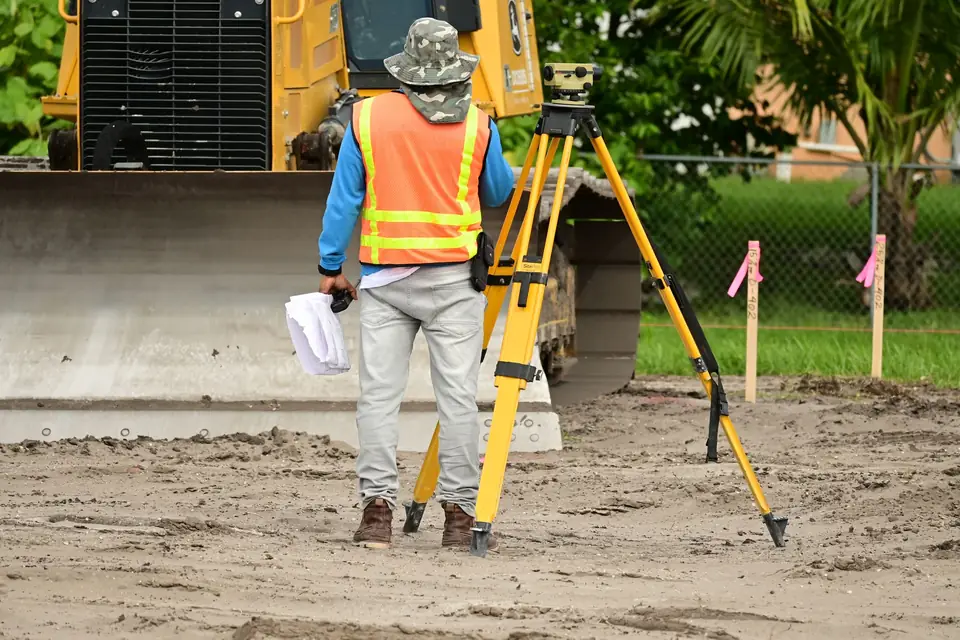
Surveys and setting out
We measure the ground with its levels, walls and terraces so that the design starts from real data, and then we take the axes and levels of the design onto the ground. Plans and data ready for the architecture practice or the engineering firm.
- 02
Construction control
During construction we check levels, alignments, slopes and built elements. We spot deviations in time and document them so that the site management team can decide.
- 03
Digital terrain model (DTM) and digital surface model (DSM)
We produce DTMs and DSMs from surveying, GNSS, photogrammetry and LiDAR. They give contour lines, slopes, areas and volumes.
- 04
LiDAR survey
With LiDAR we obtain dense point clouds that describe the ground and everything on it. Some of the pulses reach the ground between the vegetation, which helps on wooded slopes.
- 05
Orthophotographs
We fly a drone and produce georeferenced orthophotos you can measure on. They document the state of the works, track progress over time and complete the plans.
- 06
3D modelling
Three-dimensional models of the terrain, buildings and infrastructure from surveying, photogrammetry and LiDAR, to view, measure and plan.
- 07
Longitudinal profiles and cross sections
Profiles and cross sections of the ground to study changes in level, slopes and earthworks. Essential for tracks, accesses, roads and any linear works.
- 08
Earthworks calculation and control
We calculate volumes of excavation, fill and stockpiles by comparing surfaces measured on different dates. Figures that can be checked, for planning and for verifying site measurements.
When does a building project need a land surveyor? Before the design, at setting out, and every time something is about to be buried.
Services in this sector
- Volume calculations and earthworksVolume calculation for excavation, fill and stockpiles in Valencia, Alicante, Murcia and Albacete. Comparable surveys over time and a report you can check.
- Topographic surveysTopographic survey and contour plan before you design, in Valencia, Alicante, Murcia and Albacete. Delivered in DWG and PDF, signed by an engineer.
- LiDAR and point cloudsLiDAR point clouds: capture, classification, ground under vegetation, DTM, profiles and 3D models, in Valencia, Alicante, Murcia and Albacete.
- DTM, DEM and 3D modelsDTM, DEM, contour lines, profiles and volumes in Valencia, Alicante, Murcia and Albacete, from a single plot to solar farms, power lines or roads.
- Setting out and construction controlSetting out and construction control in Valencia, Alicante, Murcia and Albacete: axes, levels and geometry to plan, with each visit recorded in writing.
Tell us about your case
We review the paperwork and tell you what is needed.
Cadastral reference, what you want to do and by when. We look at the case and reply with a proposal and a quote.
- Xàtiva
- C/ Ballesters Navarresos, 7 · 46800 Xàtiva
- Xàbia
- C/ Ausiàs March, 2 · 03730 Xàbia
- or write to
- hola@clotoides.com