Completed work
Real cases, told without any details that identify the property or its owners: what the problem was, what we did and what was delivered. The images come from those jobs, with sensitive information hidden.
Cases and their deliverables
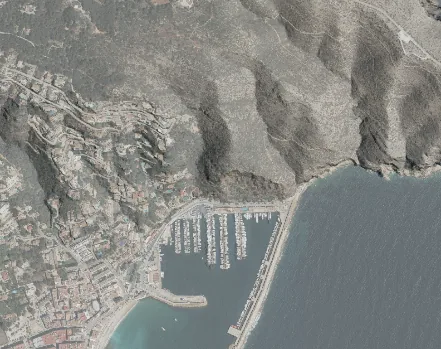 Mapping and surveying
Shadow and slope analysis before you design
How we calculate the shadow cast by terrain, buildings and trees at each hour and season, and how a slope map shows where you can build on a plot.
Read the case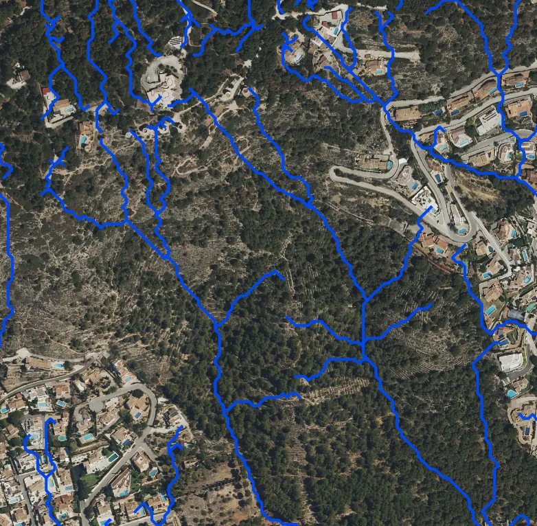 Mapping and surveying
Drainage networks: why point density changes the result
How the drainage network of a hillside is calculated from the terrain model, and what changes from 0.5 to 5 points per m², with an example in Xàbia (Jávea).
Read the case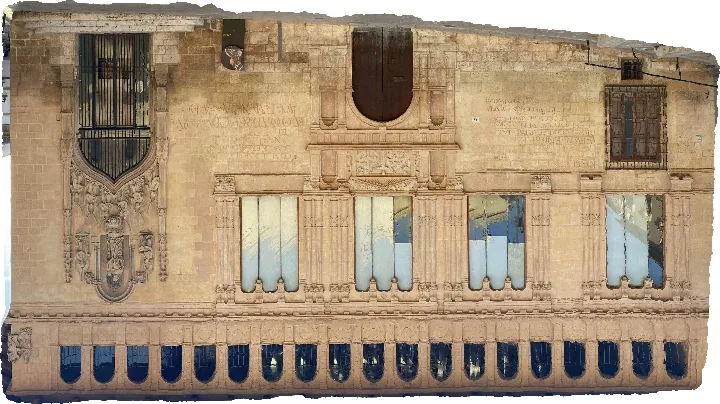 Mapping and surveying
Why a 3D model: the digital twin of a historic façade
Photogrammetry with a metric camera and classical land surveying to obtain the 3D model and the plan of a historic façade before designing its restoration.
Read the case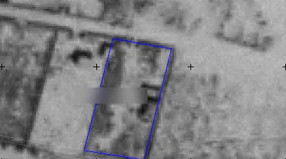 Cadastre
Certificate of age for a building: aerial photo proof
How to prove how long a house, a pool or an outbuilding has existed in Spain: historical aerial surveys, the old Cadastre and spatio-temporal analysis.
Read the case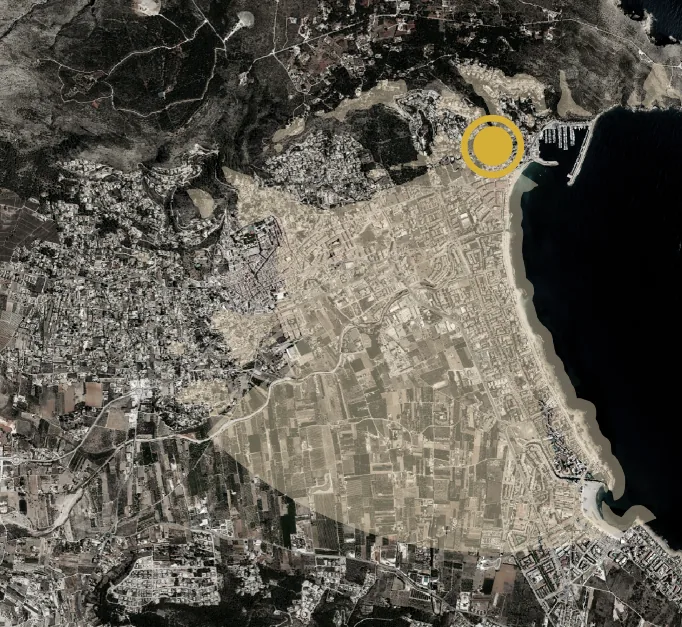 Mapping and surveying
Viewshed analysis: what can be seen from a point
What a viewshed is, how it is calculated with a terrain model and what it is used for on the coast: landscape integration, siting a house or anticipating its views.
Read the case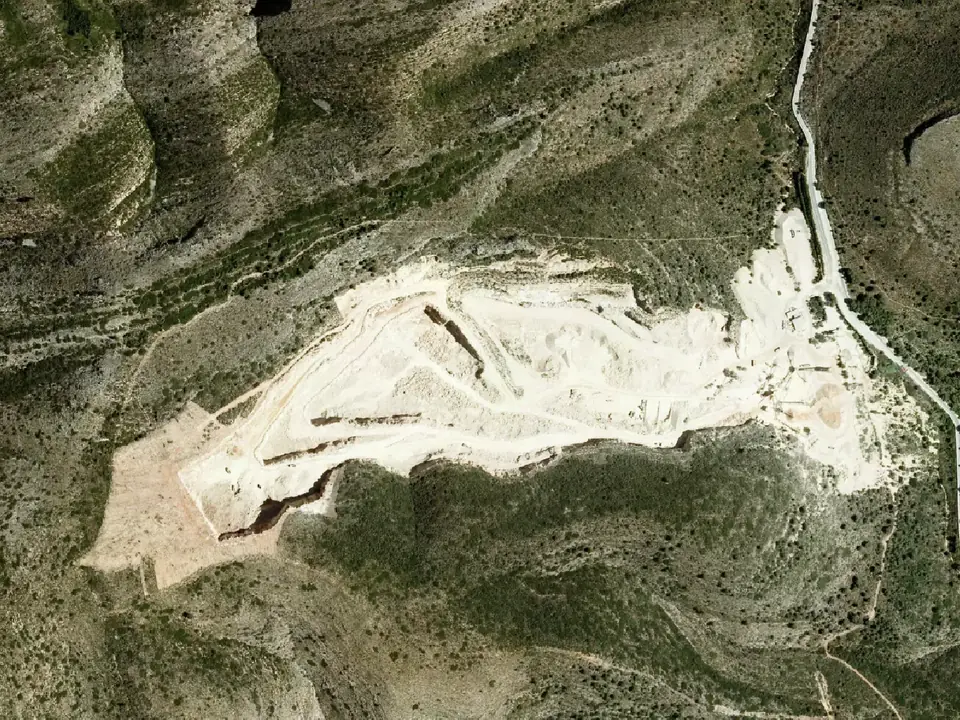 Topographic survey
Earthworks volume with drone and LiDAR: the calculation
How excavated volume is calculated by subtracting two terrain models, with the case of an opencast site in the Vall d'Albaida surveyed with drone and LiDAR.
Read the case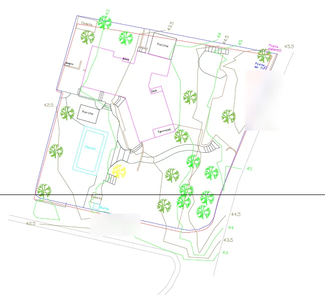 Topographic survey
Topographic plan for an architect: what it includes
Buildings, pool, walls, steps, trees, services, inspection chambers and contour lines: what a topographic plan must show to design on a plot.
Read the case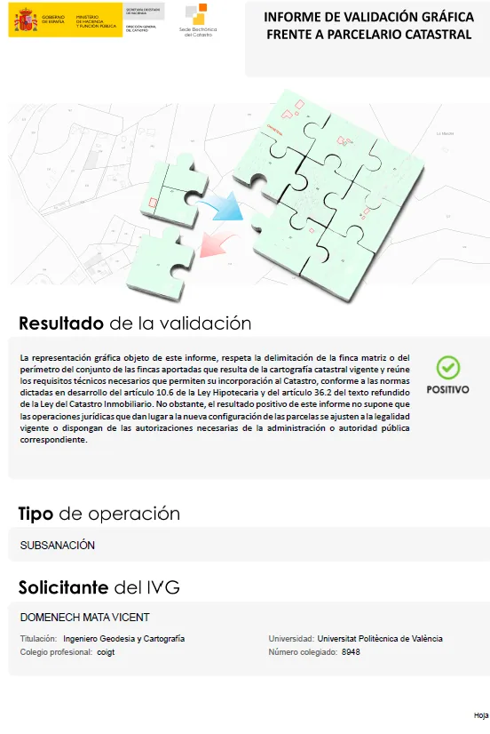 Cadastre
IVGA and ICUC: updating your deed before a mortgage
What the IVGA and the ICUC are, what they prove and what they do not, and how we use them so that a home's title deed reflects its real boundaries and buildings.
Read the case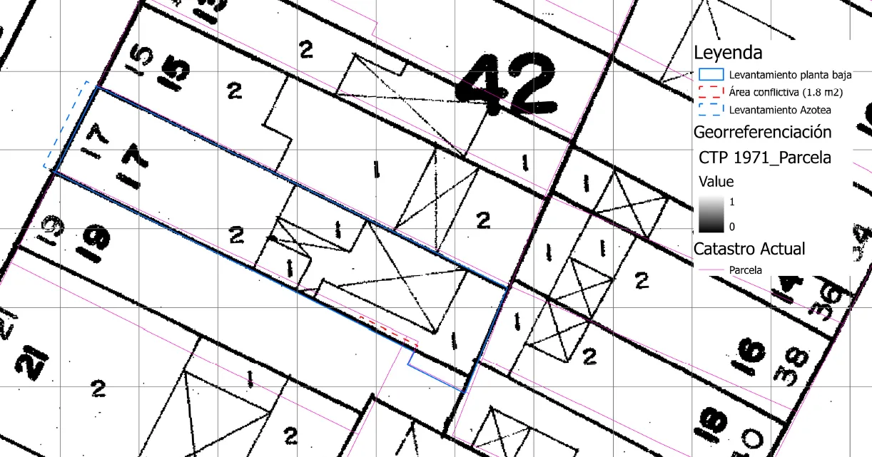 Topographic survey
A neighbour encroaching on my property: how to prove it
Cadastre, Land Registry and boundaries did not match and the neighbour refused a deslinde. How we prepared an expert surveying report to defend the plot in court.
Read the case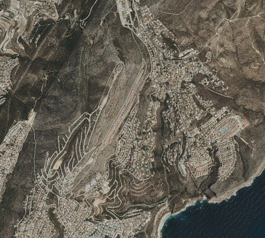 Mapping and surveying
Orthophoto, DTM, DEM and contour lines explained
What makes an orthophoto different from an aerial photo, a DTM from a DSM, and what contour lines are for, with a large hillside site in Xàbia (Jávea).
Read the case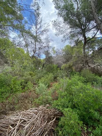 Cadastre
Boundary demarcation and marking: a case in Xàbia
The Cadastre and the title deed gave different areas for a plot in Xàbia. How we defined its boundaries with the urbanisation plan, the old Cadastre and our survey.
Read the case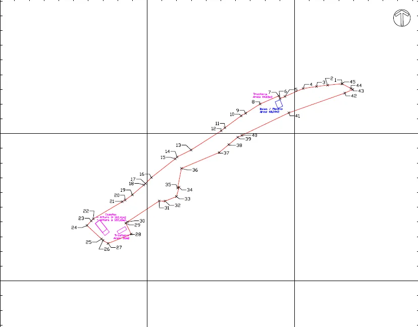 Cadastre
Exceso de cabida: when Cadastre and Registry differ
A rural plot in la Costera measured more than registered. How we justified the excess of area with a survey, historical photos, IVGA and ICUC before its sale.
Read the caseTell us about your case
We review the paperwork and tell you what is needed.
Cadastral reference, what you want to do and by when. We look at the case and reply with a proposal and a quote.
- Xàtiva
- C/ Ballesters Navarresos, 7 · 46800 Xàtiva
- Xàbia
- C/ Ausiàs March, 2 · 03730 Xàbia
- or write to
- hola@clotoides.com