Precision technology to capture reality
Measuring a plot on an urbanisation is nothing like measuring a pine-covered slope or a hundred hectares for a solar farm. That is why we combine GNSS, total station, drone, photogrammetry and LiDAR according to the area, the accuracy required, the access and what you are going to do with the result.
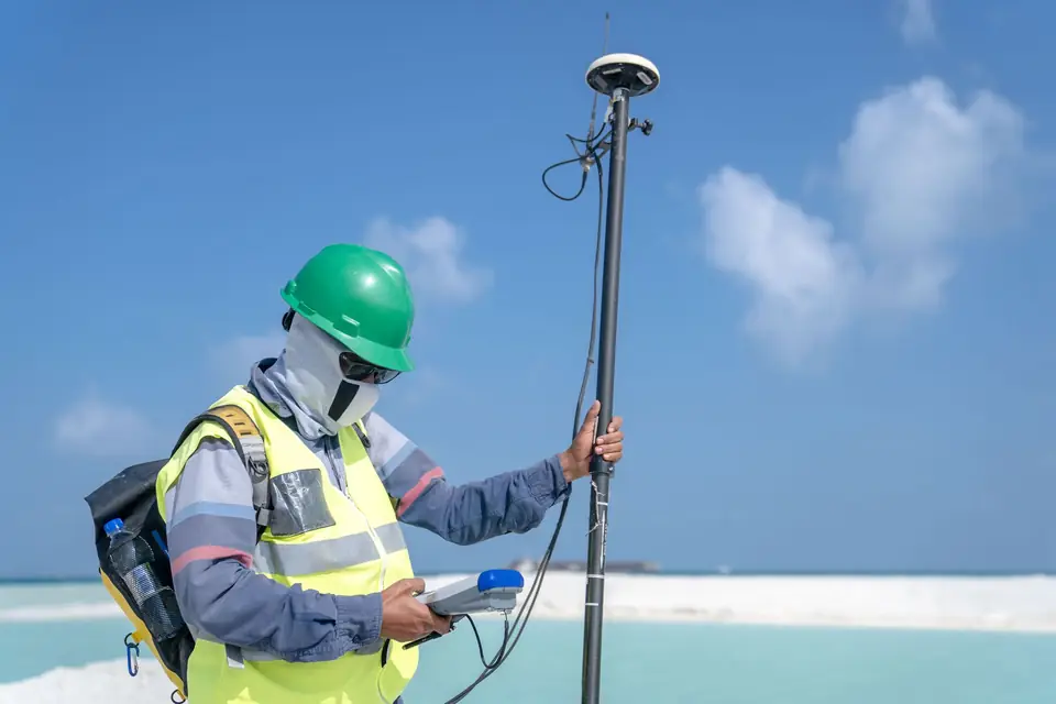
Instruments
-
GNSS RTK
Georeferenced coordinates with centimetre accuracy in real time. It is our everyday tool for surveys, setting out, boundaries, control networks and construction control, and the one that puts everything else into coordinates. Under dense trees or next to high walls it loses signal, and that is where the total station comes in.
-
Total station
It measures angles and distances with great accuracy where GNSS cannot reach or is not enough. We use it for setting out structures, geometric control on site, structural monitoring and on plots with many trees or between buildings. It is the instrument of classic land surveying and is still the most reliable for a specific point.
-
RTK drone
It records large areas in a short time and in great detail. From its images we produce measurable orthophotos, 3D models, point clouds and surface models for large sites, earthworks, roofs, solar farms and monitoring of building works. When the job requires it, the flight is tied to points measured on the ground.
-
LiDAR
It records millions of points in 3D and describes the ground and everything on it in detail. Some of the pulses reach the ground between the vegetation, which makes it useful on wooded slopes, ravines and areas that are hard to reach. By classifying the cloud we obtain DTMs, DSMs, profiles and cross sections.
-
Photogrammetry
It reconstructs a piece of land or an object in 3D from photos taken from different positions. It produces orthophotos, 3D models, point clouds and measurable mapping that are combined with the classic survey.
-
Thermography
It adds information about the temperature of surfaces and building elements to the geometry. It can help in some inspections of roofs, buildings, installations or infrastructure.
The right technology for each project
No single method works for everything. We combine systems to balance accuracy, detail, time and cost. The aim is not to bring more equipment to the property, but the equipment needed for the data to be reliable and useful to you.
We work on the coast and inland in Valencia and Alicante, in Castellón, on the Murcia coast and in Albacete, on property, construction and land analysis projects.
Tell us what you need to know about the land or the building and we will propose how to measure it.
Technology
- Software and geospatial processingWe process field data with CAD, GIS, photogrammetry and LiDAR software, with technical checks before delivering plans, maps and 3D models.
- Formats and deliverablesWe deliver survey plans and data in DWG, GML, SHP, GeoTIFF and LAS, ready for your CAD, GIS or modelling software and for the Cadastre and Land Registry.
Tell us about your case
We review the paperwork and tell you what is needed.
Cadastral reference, what you want to do and by when. We look at the case and reply with a proposal and a quote.
- Xàtiva
- C/ Ballesters Navarresos, 7 · 46800 Xàtiva
- Xàbia
- C/ Ausiàs March, 2 · 03730 Xàbia
- or write to
- hola@clotoides.com