Topographic surveys in the Valencia region
Before drawing a house you need to know what the land is really like: levels, terraces, walls, trees, access and whatever is already built. A topographic survey is that base. We measure it so that your architect designs on checked data and not on an old plan.
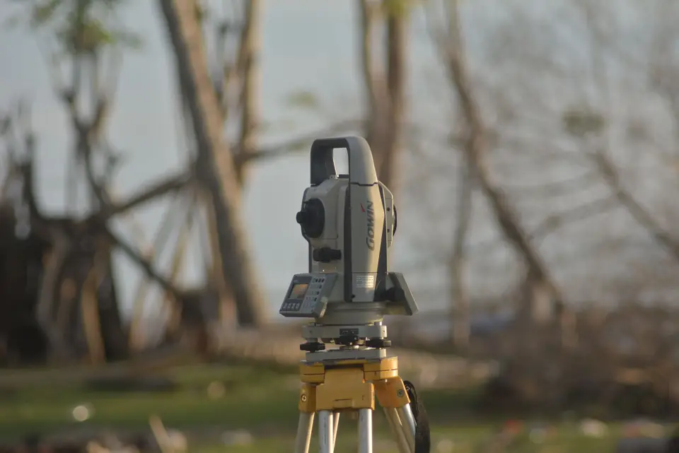
A reliable base to design on
A thirty-year-old plan may not show the dry-stone wall holding up the terrace, the slope of the driveway or the outbuilding added later. On a hillside plot, that changes where the house goes, how much earth is moved and how you get there by car. The survey records the land exactly as it is on the day we measure it. Before going out we agree the extent, the detail and the precision with you or with your architect.
When you need a survey
- Before designing a house, an extension, a swimming pool or a warehouse.
- To study access, slopes, ground levels and the connection to the road.
- When the town hall or the project asks for an up-to-date topographic plan.
- As a base for profiles, volume calculations, setting out or a digital terrain model.
What we measure in the field
We combine GNSS RTK and total station depending on the vegetation, the visibility and the site. We record the relief with its changes of slope and the features we agree on: walls and terraces, tracks, buildings, visible manholes, significant trees, fences. If the plot is large or the roofs need to be seen, we add a drone or LiDAR. What is buried cannot be seen: hidden services need the utility companies' plans or separate techniques.
Where we work
We measure along the coast of Valencia and Alicante, from Cullera and Gandia to Dénia, Xàbia (Jávea), Moraira, Calp (Calpe) and Altea, and inland, from Xàtiva and Ontinyent to la Ribera. Also on the Murcia coast and in Albacete. An urban building plot, an estate of terraces or a plot with sea views, all alike.
Questions about Topographic surveys
Does a topographic survey tell me where my boundaries are?
It draws the boundaries that can be seen on the ground, such as walls, fences or boundary markers, but that does not settle a disputed boundary. For that, the title deeds, the Cadastre (Catastro, Spain's land and property register for tax purposes) and the history of the property have to be compared. If that is what worries you, tell us and we will include it as a boundary study.
How precise is the plan?
Whatever the use requires, checked in the field. It depends on the method, the terrain and the checks. On the plan we state how it was measured; we do not confuse the precision the equipment manufacturer advertises with the accuracy of the finished work.
Will my architect be able to use it?
Yes. Ideally they send us their layers, their template and what they need to see beforehand. That way they receive a file they can open and use without redoing anything.
Tell us about your case
We review the paperwork and tell you what is needed.
Cadastral reference, what you want to do and by when. We look at the case and reply with a proposal and a quote.
- Xàtiva
- C/ Ballesters Navarresos, 7 · 46800 Xàtiva
- Xàbia
- C/ Ausiàs March, 2 · 03730 Xàbia
- or write to
- hola@clotoides.com