Plot measurement and boundary survey in the Valencia region
The title deed (escritura) says two hanegadas (the old local land measure), the Cadastre (Catastro, Spain's land and property register for tax purposes) says something else, and the neighbour's wall matches neither. We measure your plot, compare it with what the paperwork says and explain where the differences are and what can be done about them.
Know what you have before you decide
Many properties on the coast and inland were described decades ago, in hanegadas or with boundaries along the lines of “bounded by the track and by land of the heirs of”. The 1970s urbanisations were divided into plots using plans that do not always match today's Cadastre, which sometimes appears shifted by several metres. Measuring gives you the real area and shape of the property, and lets you decide on the basis of data: to buy, sell, fence, make a claim or simply sleep easy.
If you are from abroad and about to buy, this is the time to do it: before signing, not after. We tell you how big the plot is, whether the walls and fences are where they should be and whether the house you see is the one on record.
When you need your plot measured
- Before buying or selling, to know what area is really being transferred.
- When the deeds, the Cadastre and what you see on the ground do not match.
- Before putting up a fence, building a wall or planting along the edge of the property.
- If your neighbour disputes where the boundary runs or the boundary markers have disappeared.
- To inherit or divide a property and know what belongs to each person.
How we study the boundaries
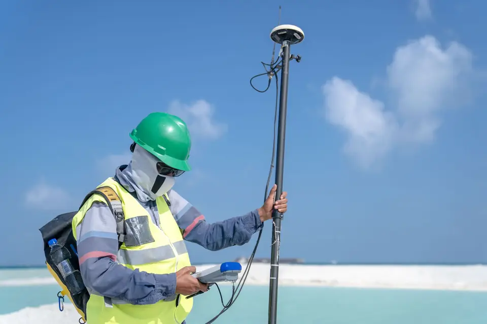
First we read the paperwork: the deeds, the land registry extract (nota simple), current and historical cadastral mapping and any old plans. Then we measure in the field, with GNSS RTK and total station, the walls, fences, boundary markers, terraces and tracks that mark out the property. With all of that we draw where each boundary lies according to each source, and where they disagree. If it is agreed with the neighbours, we can mark the corner points on the ground.
A measurement does not settle a disputed boundary on its own. What it does is put data that can be checked on the table, so that the agreement with your neighbour, the notary's office or, if it comes to it, the court all start from the same reality.
Where we work
Along the whole coast of Valencia and Alicante, from Cullera, Gandia and Oliva to Dénia, Xàbia (Jávea), Moraira, Benissa, Calp (Calpe) and Altea, and inland in both provinces, from la Costera to la Ribera. Also on the Murcia coast and in Albacete. Plots on urbanisations, villas on hillsides and long-established rural plots.
Questions about Plot measurement and boundary survey
Does a topographic survey tell me where my boundaries are?
It helps a great deal, but it is not enough. The survey draws what is on the ground. To know where a boundary ought to run, it has to be compared with the deeds, the Cadastre and the history of the property, and that is exactly what we do in a boundary study.
How precise is the plan?
To the centimetre at the points measured with GNSS RTK or total station, checked against control points. On the plan we state the method and the precision actually achieved, not the figure the equipment manufacturer advertises.
Will my architect be able to use it?
Yes. We deliver it in DWG or DXF with ETRS89 coordinates, and if they send us their layers or template beforehand, we prepare it that way.
Tell us about your case
We review the paperwork and tell you what is needed.
Cadastral reference, what you want to do and by when. We look at the case and reply with a proposal and a quote.
- Xàtiva
- C/ Ballesters Navarresos, 7 · 46800 Xàtiva
- Xàbia
- C/ Ausiàs March, 2 · 03730 Xàbia
- or write to
- hola@clotoides.com