Topic: deslinde
-

What is a lindero? Finding the boundary of a plot in Spain
What a boundary line (lindero) is, the main types and how to find it on the ground, in the title deed and in the Cadastre, and why they often do not match.
-

A neighbour encroaching on my property: how to prove it
Cadastre, Land Registry and boundaries did not match and the neighbour refused a deslinde. How we prepared an expert surveying report to defend the plot in court.
-
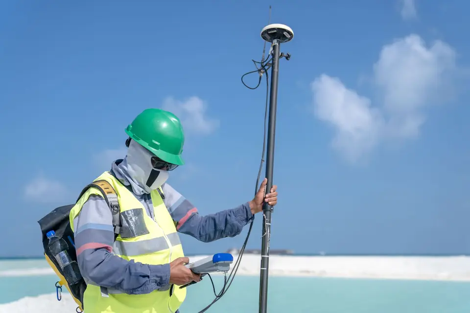
Boundary demarcation and marking: a case in Xàbia
The Cadastre and the title deed gave different areas for a plot in Xàbia. How we defined its boundaries with the urbanisation plan, the old Cadastre and our survey.
-
Boundary demarcation (deslinde): avoiding disputes
We carry out the boundary demarcation (deslinde) of properties: precise topographic measurements that mark a property against its neighbouring plots.
-
Cadastre procedures in Spain: how to deal with them
Cadastre procedures in Spain are handled through the Cadastre website. For technical procedures, a land surveyor such as Clotoides can help you.
-
Cadastral discrepancies: how a land surveyor helps
We carry out the precise technical work needed to prepare the documentation that corrects discrepancies in your cadastral data.
-
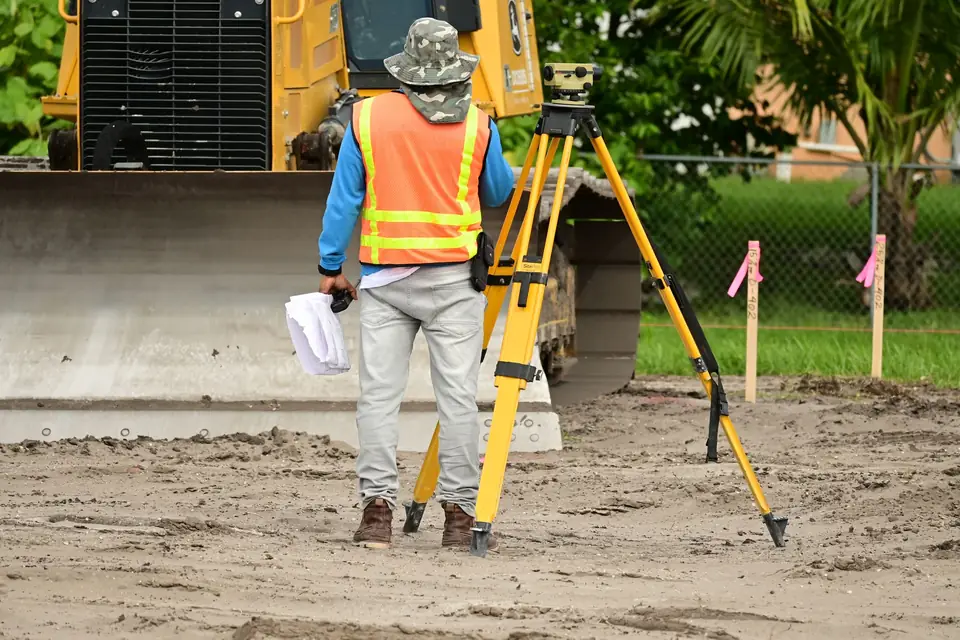
Spanish Mortgage Act (Ley Hipotecaria): what it is
Clotoides helps you comply with the Spanish Mortgage Act (Ley Hipotecaria) by simplifying the registration of your property at the Land Registry.
-
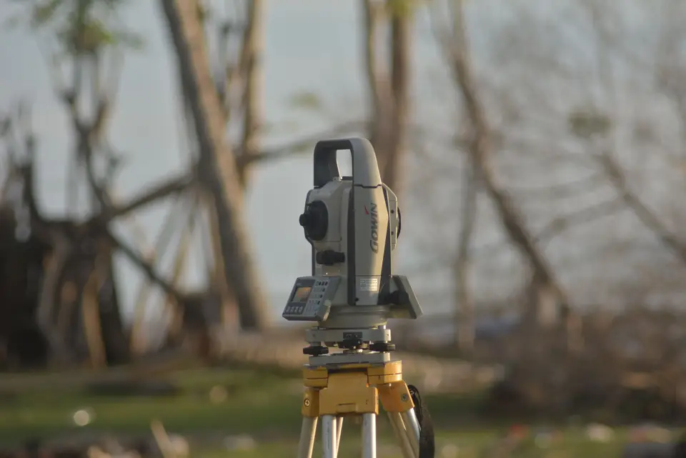
Spanish Cadastre Act and how land surveying helps
We carry out cadastral updates that comply with the Spanish Cadastre Act and keep the Cadastre coordinated with the Land Registry (Registro de la Propiedad).
-
Land surveying for property management
Clotoides measures plots and boundaries so that property management rests on precise, impartial surveying data that supports the legal validity of your property.
-

GML file and georeferencing for the Spanish Cadastre
Clotoides prepares the GML file and the georeferencing required to obtain the graphic validation report and update your parcel in the Spanish Cadastre.
-
Plot boundary survey: how to identify your boundaries
At Clotoides we resolve plot boundary disputes. After measuring and analysing the plot, the boundaries are established beyond doubt.
-
Property encroachment in Spain: how to check
Contact Clotoides and we will survey and mark the boundaries of your plot so that you can prevent any encroachment or boundary dispute with a neighbour.
-

Save money on construction by measuring first
Topographic survey tips to save money on construction: how to reduce costs without sacrificing quality and get the project right the first time.
-

Measure a property before buying it: why it matters
Measuring a property before buying helps to minimise the risk of an investment and to identify and resolve problems before they arise.
-

Fencing your plot: why a boundary survey should come first
Clotoides helps you determine the boundary of your land so that you can fence your plot with the certainty of doing it precisely and respecting the property limits.
-

Land surveyor in Xàtiva: what is measured in la Costera
Land surveying in Xàtiva: what we measure in la Costera to define boundaries, areas and the exact position of buildings.
-
Spanish Cadastre: what it is and how it helps owners
Cadastral update of plots, estates and land in Spain by means of a georeferenced topographic survey. Why the Cadastre matters and how its errors arise.
Tell us about your case
Do you have a similar case?
Tell us about it with the cadastral reference. We will look at it, tell you what work is needed and prepare a quote.
- Xàtiva
- C/ Ballesters Navarresos, 7 · 46800 Xàtiva
- Xàbia
- C/ Ausiàs March, 2 · 03730 Xàbia
- or write to
- hola@clotoides.com