Cadastre ·
Plot boundary survey: how to identify your boundaries
At Clotoides we resolve plot boundary disputes. After measuring and analysing the plot, the boundaries are established beyond doubt.
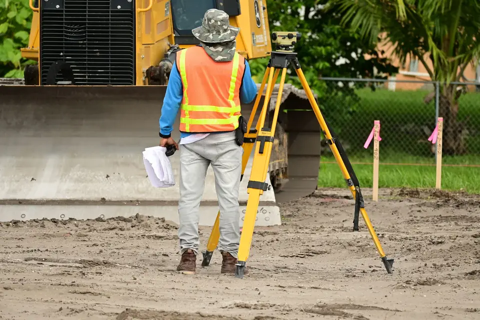
If you own a property or plot next to a neighbour’s, you may want to consider having a topographic survey of your land done to avoid plot boundary disputes with the neighbour. Boundary demarcation (deslinde) is the process of establishing precisely the limits between adjoining properties. It is also fundamental to avoiding conflicts and disputes between owners.
Why a topographic survey helps
Here are some reasons why a topographic survey can be beneficial in avoiding plot boundary problems:
Identifying the precise limits of the property
A topographic survey can help to identify precisely the limits of your property and your neighbour’s. This can avoid conflicts and disputes about the location of the property line, which can save you time and money in possible plot boundary disputes.
Preventing possible encroachments
An accurate topographic survey can help to prevent you from encroaching on your neighbour’s property, or your neighbour from encroaching on yours. If it is known precisely where each property ends, unintentional encroachments are less likely.
Resolving plot boundary disputes
If you have already had disputes with your neighbour about the location of the property line, a topographic survey can help to settle the dispute once and for all. An accurate survey provides clear evidence of the location of the property line and can help to avoid future disputes.
Saving time and money
A topographic survey may look like an expensive investment at first, but in the long run it can save you time and money in possible legal disputes or in repairing damage caused by an unintentional encroachment.
In short
In summary, a topographic survey can be a valuable tool for avoiding boundary problems with your neighbour. An accurate survey provides clear evidence of the location of the property line and can help to prevent future disputes. If you have doubts about where your property line runs, a topographic survey can be a worthwhile investment.
Tags actualizacion catastralcatastrodeslindeibi
Written by Vicent Doménech, geodesy and cartography engineer, chartered surveyor no. 8948.

