Cadastre · · Updated on
Spanish Cadastre: what it is and how it helps owners
Cadastral update of plots, estates and land in Spain by means of a georeferenced topographic survey. Why the Cadastre matters and how its errors arise.
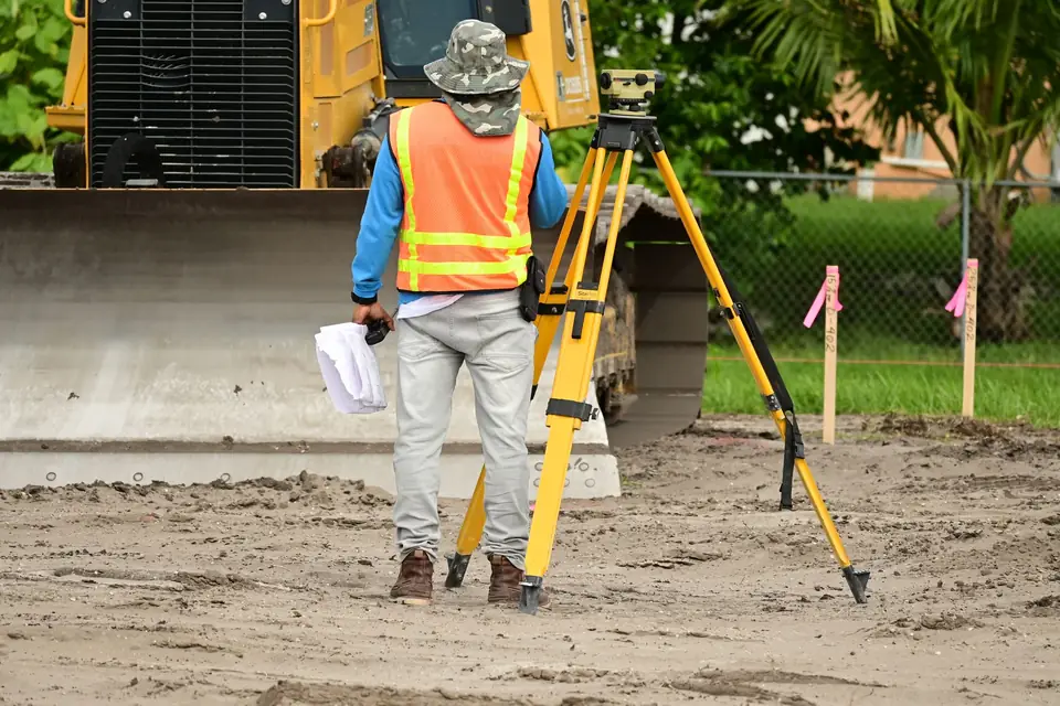
The importance of a cadastral update rests on the fact that more than 10% of the taxes collected by the Spanish State come from real estate. These taxes are governed by the mapping available in the Cadastre (Catastro, Spain’s land and property register for tax purposes). This body assigns a contribution to each portion of land, applying a factor in each area of the territory.
It is true that the accuracy of cadastral plans is not uniform across the country. Even so, they serve to give continuity to the territory and to determine the tax for each property or plot. This mapping is the starting point and is continuously being updated so that taxes can be collected more fairly. These inaccuracies arise, among other reasons, from the following:
1 - Cadastral update: how to carry it out with the body responsible for taxation
- In a sale and purchase, it is compulsory to change the holder of the cadastral references concerned. This was not the most common practice until the publication of the Spanish Mortgage Act (Ley Hipotecaria) and the Cadastre Act (Ley 13/2015).
2 - The most widely used techniques for measuring plots and land
- There are areas where the boundaries were obtained by digitising aerial orthophotographs, which usually reach metre-level accuracy, whereas areas delimited by topographic surveys are usually accurate to less than a centimetre.
3 - Secure the boundaries of your property with these techniques
- Errors may be due to incorrect boundary marking (amojonamiento) between private owners or to incorrect determination by the technicians involved.
The owners of land are constantly changing (inheritances, property sales, land expropriations and so on). This leads to the bad practice of not updating the cadastral mapping after:
- boundary demarcations (deslindes) of land
- plot mergers (agrupación)
- boundary marking (amojonamiento) of properties
- unreported buildings
- and so on
This brings us to the current situation of inaccuracy, and it is in everyone’s interest to correct these errors.
The State introduced the mechanism of the Cadastre Act of 2015, which makes it compulsory to certify graphically any change affecting real estate. This requires the involvement of a geomatics or surveying engineer, an agricultural engineer, an architect or a similar professional to determine the property boundaries. The technique used is a topographic survey with legal validity for the correction of cadastral errors.
Tags actualizacion catastralagregacion de parcelasdeslindeibiimpuestoslevantamiento topograficopropiedad
Written by Vicent Doménech, geodesy and cartography engineer, chartered surveyor no. 8948.

