Topic: propiedad
-

Cadastral certificate in Spain: what it is and how to get one
What the Spanish cadastral certificate contains, how it differs from the negative one and what to do if the Cadastre's plan does not match your plot.
-
How to look up the cadastral reference of a plot
Where to find the cadastral reference of a plot: IBI receipt, deed and the Cadastre's online office. How to read it and what to do if it does not match.
-
What is a lindero? Finding the boundary of a plot in Spain
What a boundary line (lindero) is, the main types and how to find it on the ground, in the title deed and in the Cadastre, and why they often do not match.
-

What is plot subdivision in Spain: requirements and steps
What subdividing a property (segregación) means in Spain, how it differs from merging or dividing, what to confirm first and the technical steps.
-

Buying a plot on the Alicante coast: what to survey first
Before buying a villa or plot in Xàbia (Jávea), Dénia, Moraira or Calp, a topographic survey tells you whether what you buy matches the title deed.
-
A neighbour encroaching on my property: how to prove it
Cadastre, Land Registry and boundaries did not match and the neighbour refused a deslinde. How we prepared an expert surveying report to defend the plot in court.
-
What documents a surveyor needs to measure a property
Cadastral reference, nota simple or title deed, old plans and what you know about the boundaries: what to prepare before a property is measured and what we look for.
-
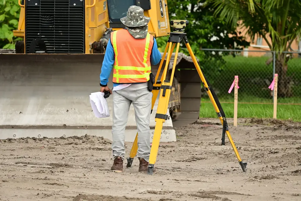
My plot does not match the title deed: a case
We measured a plot with and without the planter on its edge and compared it with the Cadastre, the Land Registry and the title deed to find the true boundaries.
-

3D terrain modelling with digital terrain models
3D terrain modelling helps optimise the territory, reduce costs and maximise returns. Ask Clotoides, land surveyors in Xàtiva and Xàbia, for advice.
-
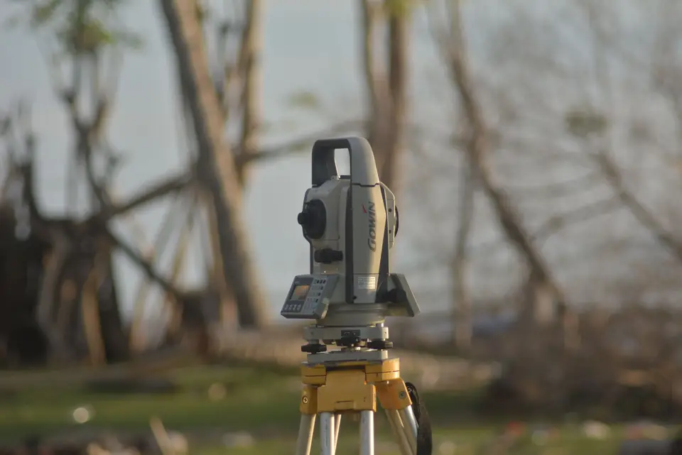
Cadastral update: which technician can carry it out?
Cadastral update in Spain: why a land surveyor is the right technician to measure your property and correct the data held by the Cadastre.
-
Land Registry: how to update your plot's surface area
Clotoides prepares the survey work needed to update a plot in the Spanish Land Registry when the registered area does not match the real one.
-
Plot merger in Spain: how cadastral plots are merged
Plot merger (agrupación) of adjoining cadastral plots adds value to your land. Contact Clotoides, land surveyors in Xàtiva and Xàbia, for advice.
-
Certifying the surface area of a plot in Spain
Certify the surface area of a property in Spain: Clotoides measures the real boundaries and issues a surveying certificate with legal validity.
-
Boundary demarcation (deslinde): avoiding disputes
We carry out the boundary demarcation (deslinde) of properties: precise topographic measurements that mark a property against its neighbouring plots.
-
Cadastre procedures in Spain: how to deal with them
Cadastre procedures in Spain are handled through the Cadastre website. For technical procedures, a land surveyor such as Clotoides can help you.
-
Land expropriation in Spain: how a surveyor checks it
Our surveying services help to verify that the expropriation of a property has been carried out correctly, with a report that has evidential value.
-
Expert surveying report: what it is and who does it
Clotoides is a technical office experienced in expert surveying reports (peritación topográfica), using the latest technology to carry out the work.
-

Building permits in Spain: major and minor works
Clotoides carries out the georeferenced topographic survey you need to obtain a building permit (licencia de obra) from the local council for major or minor works.
-
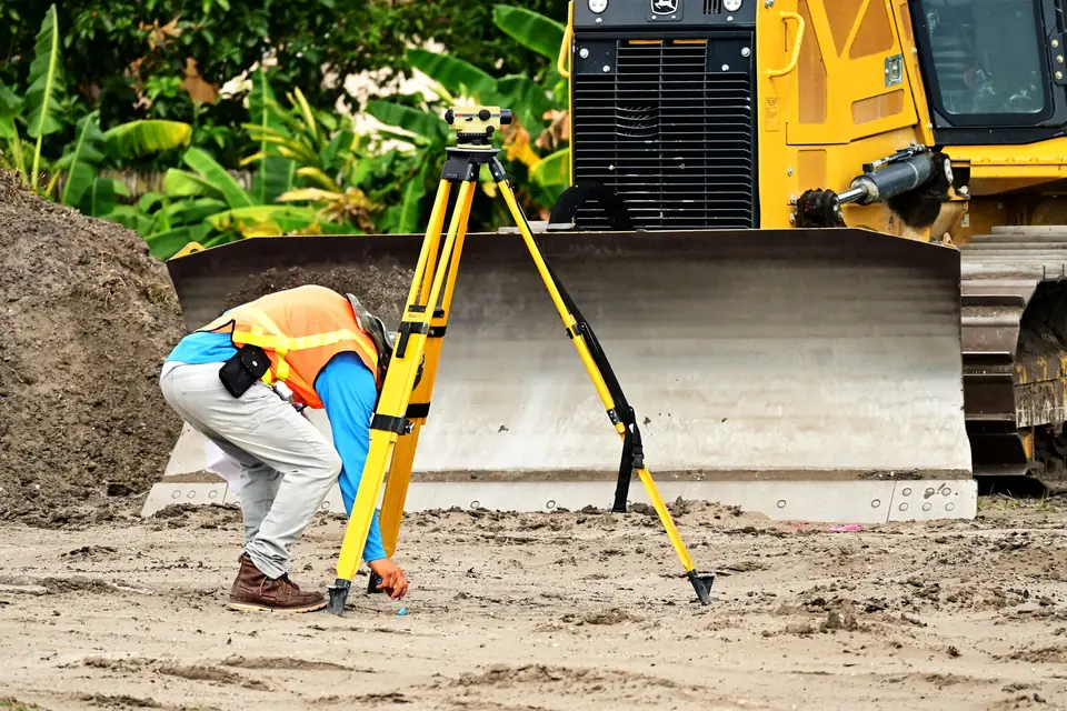
Industrial surveying: buildings, pipes and machinery
What industrial surveying involves: setting out industrial buildings, surveying existing plant, pipes and machinery, extensions and checking the works.
-
Spanish Mortgage Act (Ley Hipotecaria): what it is
Clotoides helps you comply with the Spanish Mortgage Act (Ley Hipotecaria) by simplifying the registration of your property at the Land Registry.
-
Spanish Cadastre Act and how land surveying helps
We carry out cadastral updates that comply with the Spanish Cadastre Act and keep the Cadastre coordinated with the Land Registry (Registro de la Propiedad).
-

Topography for architecture: point clouds and BIM
Clotoides uses advanced surveying techniques for architecture, making a difference and maximising a project's chances of success: 3D point clouds, modelling and BIM.
-
Topography in construction: how terrain shapes a project
With a survey and a digital terrain model you can plan construction on solid data. Foundations, structure, drainage and landscaping all depend on the terrain.
-
Major works licence in Spain: what it is, how to apply
Clotoides carries out the technical work needed to obtain a major works licence, including the topographic survey and the georeferenced plan of the site.
-
Alignment and level report: what the LOE requires
Clotoides prepares the alignment and level report (informe de alineaciones y rasantes) that the authorities require before building works begin.
-
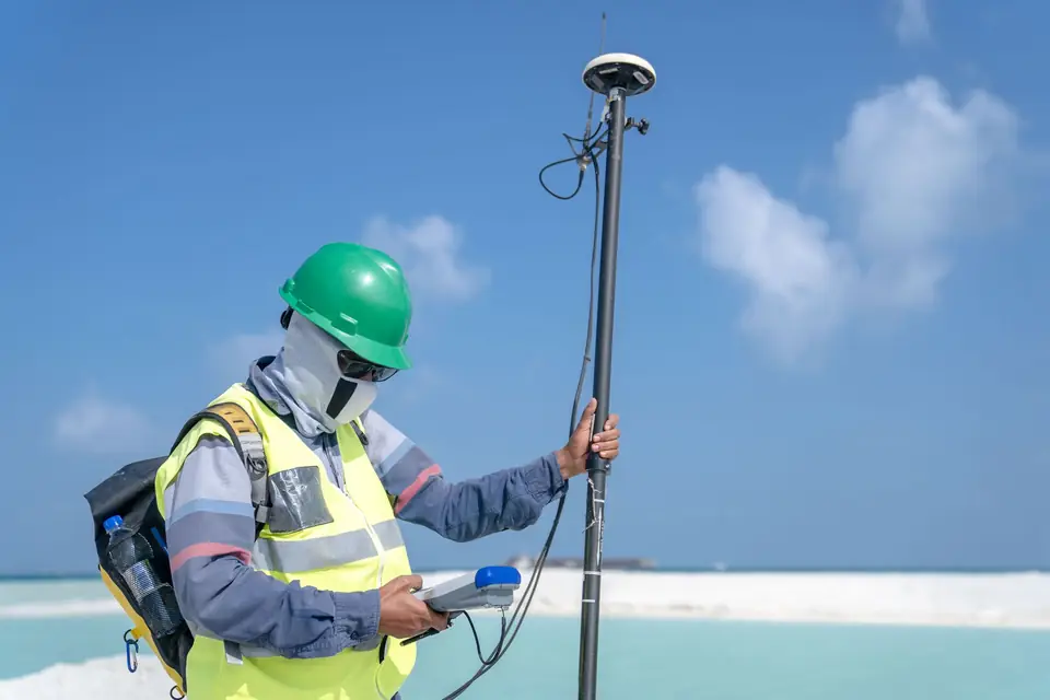
Garden design and topography: why the terrain matters
Clotoides helps you obtain the topography of your land as the basis for garden design. Slopes, sun exposure, drainage and accessibility all depend on the terrain.
-
Topographic survey before a renovation: why do it
Clotoides carries out a topographic survey before a renovation or refurbishment so that the works are planned on precise and detailed data about the site.
-
Property valuation: what a topographic survey adds
We help you value your property fairly by delimiting plots and buildings precisely. Why a topographic survey matters for an objective valuation.
-
Property encroachment in Spain: how to check
Contact Clotoides and we will survey and mark the boundaries of your plot so that you can prevent any encroachment or boundary dispute with a neighbour.
-
Save money on construction by measuring first
Topographic survey tips to save money on construction: how to reduce costs without sacrificing quality and get the project right the first time.
-

Measure a property before buying it: why it matters
Measuring a property before buying helps to minimise the risk of an investment and to identify and resolve problems before they arise.
-

Topographic survey for construction: why it matters
A topographic survey fixes the base of a building or structure with precision. Plan, assess risks, meet legal requirements and avoid unnecessary extra costs.
-
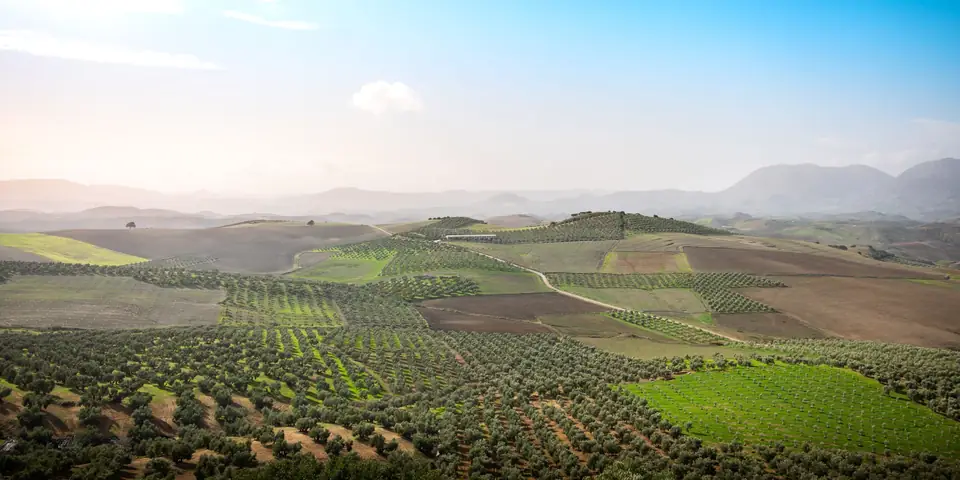
Certificate of completion of works: why it matters
Certificate of completion of works (certificado final de obra): how a topographic survey by Clotoides helps you complete the paperwork for a new build.
-
Fencing your plot: why a boundary survey should come first
Clotoides helps you determine the boundary of your land so that you can fence your plot with the certainty of doing it precisely and respecting the property limits.
-
IBI property tax: when measuring your plot helps
Clotoides helps to correct cadastral errors that lead to an overcharge on your IBI (annual property tax) bill.
-
Spanish Cadastre: what it is and how it helps owners
Cadastral update of plots, estates and land in Spain by means of a georeferenced topographic survey. Why the Cadastre matters and how its errors arise.
Tell us about your case
Do you have a similar case?
Tell us about it with the cadastral reference. We will look at it, tell you what work is needed and prepare a quote.
- Xàtiva
- C/ Ballesters Navarresos, 7 · 46800 Xàtiva
- Xàbia
- C/ Ausiàs March, 2 · 03730 Xàbia
- or write to
- hola@clotoides.com