Land expropriation in Spain: how a surveyor checks it
Our surveying services help to verify that the expropriation of a property has been carried out correctly, with a report that has evidential value.
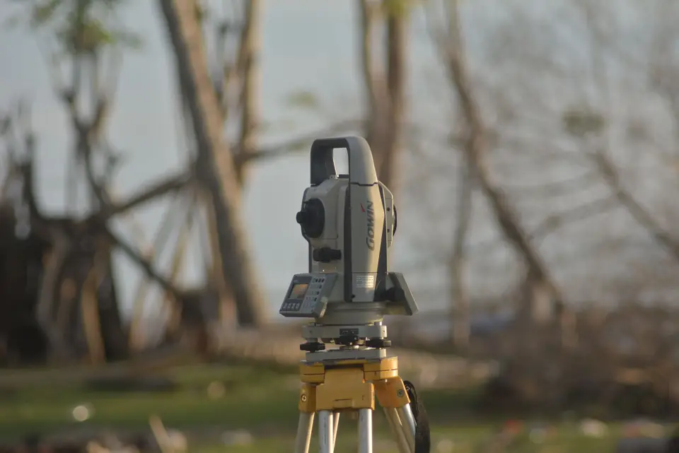
Do you know how land surveyors can help to verify a property expropriation? In this article we tell you everything you need to know.
The surveyor’s role in an expropriation
When land is expropriated, it is fundamental to make sure it is being done fairly and legally. This is where land surveyors come in: they carry out a thorough study of the area to determine its true value, and so avoid possible errors in the delimitation of the property.
A report with evidential value
Thanks to their experience and technical knowledge, land surveyors can prepare a report that includes precise and detailed data on the expropriated area. This analysis helps the parties involved in the expropriation to reach a fair and equitable agreement.
In addition, the report prepared by the surveyor has evidential value should any conflict arise in the future, which gives both parties security and peace of mind.
In short
In summary, having the help of a land surveyor in a land expropriation is an important step to guarantee a correct valuation and delimitation of the property. Do not hesitate to contact us for more information.
Tags georreferenciacionlevantamiento topograficoplanopropiedadtopografia
Written by Vicent Doménech, geodesy and cartography engineer, chartered surveyor no. 8948.


