Topography in construction: how terrain shapes a project
With a survey and a digital terrain model you can plan construction on solid data. Foundations, structure, drainage and landscaping all depend on the terrain.
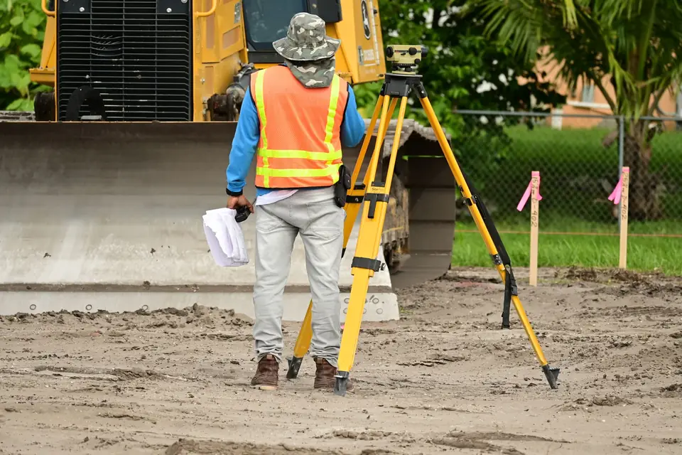
The topography of the land, or DTM (digital terrain model), is a key factor to take into account when designing any construction project. Topography refers to the shape and physical characteristics of the land, including its elevation, slope, soil type and other natural features such as rivers, streams or vegetation. Below are some of the ways in which the topography of the land can affect the design of your construction project.
Uses of topography in construction
Foundation considerations
The topography of the land can affect the way the foundations of the structure are built. For example, if the ground is steep, it may be necessary to build supporting piers or retaining walls to level the ground. In addition, if the soil is unstable, piles may be needed to ensure a solid base.
Structural design
Topography can also affect the design of the structure itself. For example, if the building is located in an area with strong winds, the design must take the wind direction into account to prevent damage to the structure. In addition, if the ground is steep, the design must allow the structure to adapt to the natural slope of the land.
Drainage considerations
The topography of the land can also affect the drainage of the property. If the ground has a steep slope, it may be necessary to install drainage systems to prevent water from collecting on the property. In addition, if there are rivers or streams nearby, it is important to take flood patterns into account to avoid possible damage to the property.
Landscape design
Topography can also influence the landscape design of the project. For example, if the ground has a steep slope, the landscape design must include terraces or retaining walls to prevent erosion and allow vegetation to grow effectively.
In short, the topography of the land is an important factor to take into account when designing any construction project. It affects many aspects of the design, from the foundations to the landscaping, and it is important to bear it in mind when planning and building the property.
Tags georreferenciacionlevantamiento topograficomapaplanopropiedadtopografia
Written by Vicent Doménech, geodesy and cartography engineer, chartered surveyor no. 8948.


