Topic: precision
-
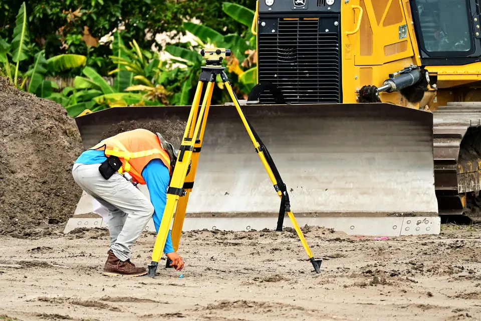
Longitudinal profiles and cross sections explained
What longitudinal profiles and cross sections of the ground are for, how we measure them and what the architect receives to set levels, access routes and walls.
-

Drainage networks: why point density changes the result
How the drainage network of a hillside is calculated from the terrain model, and what changes from 0.5 to 5 points per m², with an example in Xàbia (Jávea).
-
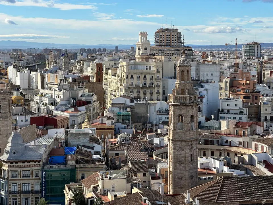
Why a 3D model: the digital twin of a historic façade
Photogrammetry with a metric camera and classical land surveying to obtain the 3D model and the plan of a historic façade before designing its restoration.
-

Earthworks volume with drone and LiDAR: the calculation
How excavated volume is calculated by subtracting two terrain models, with the case of an opencast site in the Vall d'Albaida surveyed with drone and LiDAR.
-

Topographic plan for an architect: what it includes
Buildings, pool, walls, steps, trees, services, inspection chambers and contour lines: what a topographic plan must show to design on a plot.
-
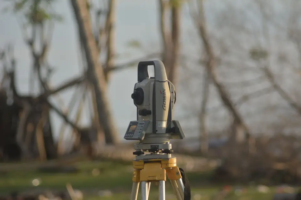
Topographic survey cost: what affects the price
Size, precision, density of levels, access and deliverables: what changes the price of a topographic survey, with indicative price ranges by type of job.
-
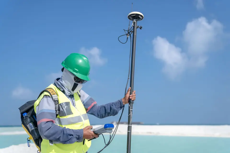
IBI property tax: when measuring your plot helps
Clotoides helps to correct cadastral errors that lead to an overcharge on your IBI (annual property tax) bill.
Tell us about your case
Do you have a similar case?
Tell us about it with the cadastral reference. We will look at it, tell you what work is needed and prepare a quote.
- Xàtiva
- C/ Ballesters Navarresos, 7 · 46800 Xàtiva
- Xàbia
- C/ Ausiàs March, 2 · 03730 Xàbia
- or write to
- hola@clotoides.com