Topographic survey cost: what affects the price
Size, precision, density of levels, access and deliverables: what changes the price of a topographic survey, with indicative price ranges by type of job.
The price of a topographic survey depends on what has to be measured, with what precision and what is delivered at the end. Two plots of the same size can cost very different amounts if one is a clear building plot and the other a pine-covered terrace on a hillside. Here we explain the factors that weigh most and give the price ranges we work with, so that you can place your case before you request a quote.
What factors affect the cost?
The technology required
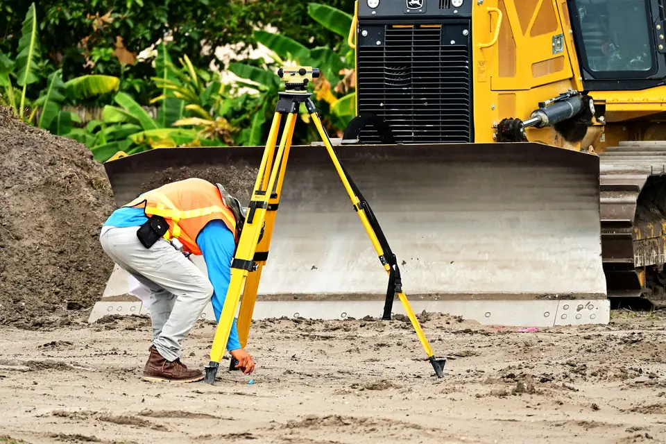
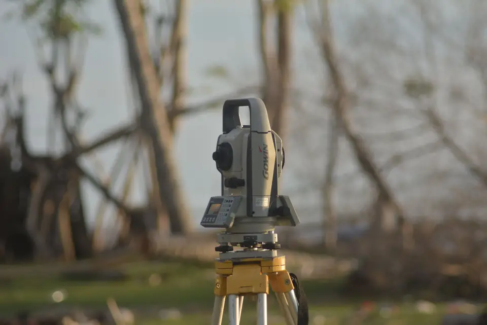
A small plot with clear boundaries is measured with classic surveying: GNSS RTK and a total station. A large property, with a lot of relief or vegetation, usually calls for a drone, with photogrammetry or LiDAR. The drone is not always more expensive: on large areas it saves many hours of fieldwork.
The size
A plot with a house is not the same as a plot with crops or a large expanse of scrubland. The larger the area, the more fieldwork and processing, although the price per square metre usually comes down.
The level of detail
- Is the perimeter enough?
- Do you need a vector plan (CAD) or also an image (orthophoto)?
- Are ground levels needed?
Each answer adds field and office work.
The precision of the vertices
For some procedures, precision to the metre or the decimetre is enough. For a boundary demarcation (deslinde) or a design project we work to centimetre precision. More precision means more care in data capture and more checks.
The density of levels
If the job includes relief, the number of points taken counts: one point every 20 m², every 10 m², every 5 m², or several points per square metre. A plan to position a house is not the same as one to calculate earthworks to the centimetre. In drainage networks and point density you can see what changes when you go from a low density to a high one.
LiDAR returns
With LiDAR you can ask for the ground only or separate several layers: ground, water, low, medium or high vegetation, buildings and street lighting. Classifying more layers means more office work.
Ease of access
A plot without vegetation is measured quickly. One that has to be cleared or pruned first, or one where pruning is not allowed and the points have to be found among the scrub, takes considerably longer. In la Marina Alta and on the hillsides inland, this is common.
What is done in the office, and how does it change the price?
Office work varies a great deal depending on what you ask for:
- Joining the points and drawing the plan.
- Generating contour lines.
- Producing longitudinal profiles and cross sections.
- Calculating earthworks.
- Assembling images, or cleaning and classifying a point cloud.
- Writing reports.
- Generating derived mapping: shading, runoff, slopes.
Indicative price ranges
These are the price ranges we work with. They are indicative, depending on the case: on every job we assess the density of vegetation and the difficulty of access before we finalise the quote.
| Price range | What it includes |
|---|---|
| €400 to €600 | High-precision survey of the perimeter using classic surveying, plus the official reports |
| €600 to €800 | High-precision survey of the perimeter and the physical elements, with a low density of levels and contour lines |
| €700 to €900 | All of the above, plus longitudinal profiles and cross sections |
| €1,500 to €2,500 | Very high-precision survey of the perimeter, with a high density of levels, contour lines, profiles and sections |
| Over €3,000 | Very high-precision survey of the perimeter, with a high density of levels and several levels of digital surface model |
How do you request an accurate quote?
The more information you give us at the start, the more accurate the quote will be:
- Cadastral reference or location of the property.
- What you need it for: a procedure with the Cadastre (Catastro, Spain’s land and property register for tax purposes), an architectural project, a boundary demarcation, a sale or purchase.
- What is on the property: buildings, vegetation, changes in level, access.
- What format you need: PDF, DWG, GML, orthophoto.
If you are not sure which documents to gather, you will find them in what documents a land surveyor needs to measure a property.
Frequently asked questions
Why do you not give a fixed price without seeing the property?
Because vegetation and access change the fieldwork a great deal. With the cadastral reference and a few photos we can give a price range; the fixed quote comes once we know what has to be measured.
Is it cheaper with a drone?
It depends. On a small plot with clear boundaries, classic surveying is more direct. On a large property or one with a lot of relief, the drone reduces fieldwork time. For boundaries under trees, the two are combined.
Does the price include the reports for the Cadastre?
In the first price range, yes: it is designed for the perimeter with the official reports. In the others, it depends on what is requested; we set it out in each quote.
If you want to place your case, tell us what you need measured and what for. We look at it as part of our topographic surveys or our plot measurement and boundary survey service.
Tags levantamiento topograficoprecisiontopografiaplano
Written by Vicent Doménech, geodesy and cartography engineer, chartered surveyor no. 8948.