Topic: sistemas de coordenadas
-

Files a land surveyor delivers: DWG, GML, PDF and more
What each file you receive after a topographic survey is, what it is for and who uses it: points in TXT or CSV, plans in DWG or DXF, SHP, GML, IVGA, ICUC and PDF.
-
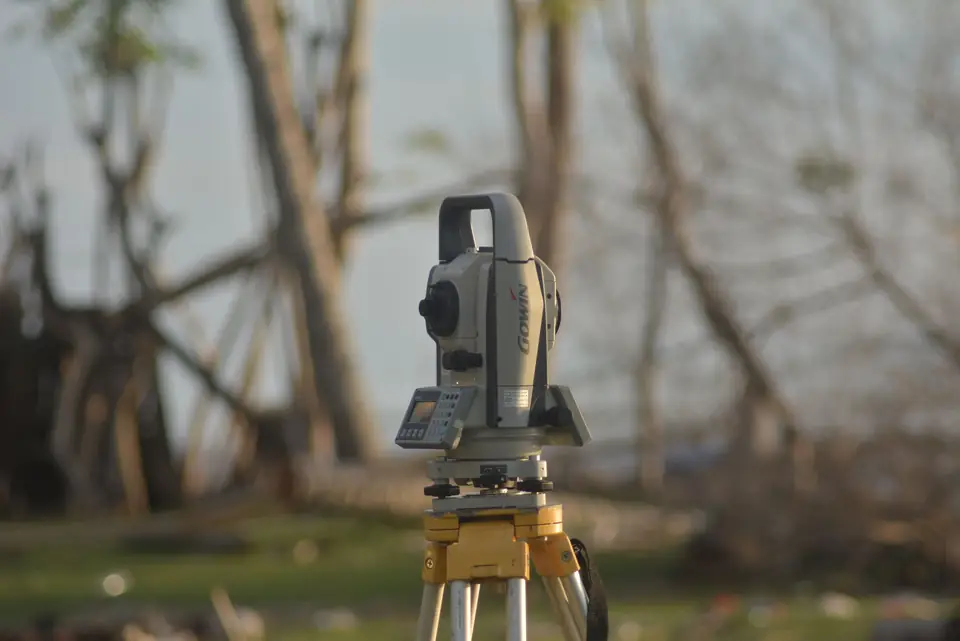
Land surveying tools: software and file formats
Topographic surveys, plot measurement and setting out on site require a command of a set of land surveying tools: CAD, GIS and file formats such as CSV and GML.
Tell us about your case
Do you have a similar case?
Tell us about it with the cadastral reference. We will look at it, tell you what work is needed and prepare a quote.
- Xàtiva
- C/ Ballesters Navarresos, 7 · 46800 Xàtiva
- Xàbia
- C/ Ausiàs March, 2 · 03730 Xàbia
- or write to
- hola@clotoides.com