Mapping and surveying · · Updated on
Land surveying tools: software and file formats
Topographic surveys, plot measurement and setting out on site require a command of a set of land surveying tools: CAD, GIS and file formats such as CSV and GML.
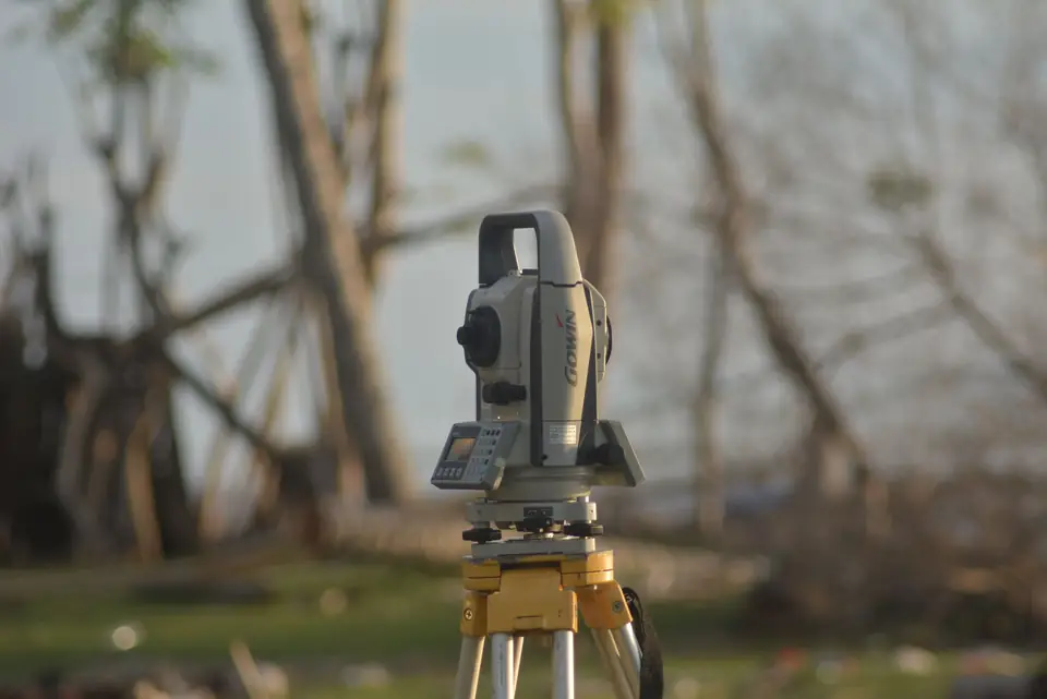
Land surveying tools are the elements needed to position data on the ground. The information measured by surveying instruments, the derived cartography produced in technical offices, the web viewers that display geographic features and so on are all made up of geopositioned information. This information consists of a succession of points in a given coordinate system. Together, they serve to represent roads, buildings, parks, highways and more. The information is stored in text files, which each software package organises in its own way for interpretation: polygons, lines or points.
Land surveying tools
Among the most common tools for producing maps or topographic surveys are CAD and Geographic Information Systems:
-
CAD: a computer-aided tool that makes it easier to generate maps in two or three dimensions for later analysis or optimisation. The proprietary format used by these tools is DXF (or DWG for AutoCAD, the most widely used commercial CAD).
-
GIS, from Geographic Information System (SIG in Spanish, Sistema de Información Geográfica). It is a more powerful tool than CAD, which makes it possible to create, store, manipulate and analyse geographic information in both two and three dimensions. This tool complements CAD, with the additional ability to store information associated with each geographic feature. The most widespread open format in use is the Shapefile.
These software packages are the main players in creating and manipulating geographic information. However, when it comes to exploiting and using the information, there is a wide variety of applications and, in turn, a wide variety of formats. Public authorities and private bodies that require surveying reports usually work mainly with two formats.
File formats
- CSV, from Comma Separated Values, stores the information in the form of a table. This format can be used with any office software and is easy to interpret. The information is stored in ASCII format and in this way represents the surveying data.
- GML, from Geography Markup Language. It is a sublanguage of the widespread and open XML, ideal for modelling and storing cartographic or surveying information. Its importance lies in how easily it can be handled between different GIS software packages, both for manipulation and for exploitation. Although it can also be opened with office software, the structure and organisation of these files are not as intuitive.
Both CAD and GIS make it possible to work in one format and export to others, which eases the interoperability of the information. The deliverables or reports exchanged between bodies (such as graphic or legal validation, valuation reports and so on) are made up of plans and cartography. These documents can be produced with the tools mentioned above, in both physical and digital format.
Tags georreferenciaciongmlmapaplanosistemas de coordenadastopografia
Written by Vicent Doménech, geodesy and cartography engineer, chartered surveyor no. 8948.


