Topic: datos
-

Files a land surveyor delivers: DWG, GML, PDF and more
What each file you receive after a topographic survey is, what it is for and who uses it: points in TXT or CSV, plans in DWG or DXF, SHP, GML, IVGA, ICUC and PDF.
-

Shadow and slope analysis before you design
How we calculate the shadow cast by terrain, buildings and trees at each hour and season, and how a slope map shows where you can build on a plot.
-

Drainage networks: why point density changes the result
How the drainage network of a hillside is calculated from the terrain model, and what changes from 0.5 to 5 points per m², with an example in Xàbia (Jávea).
-
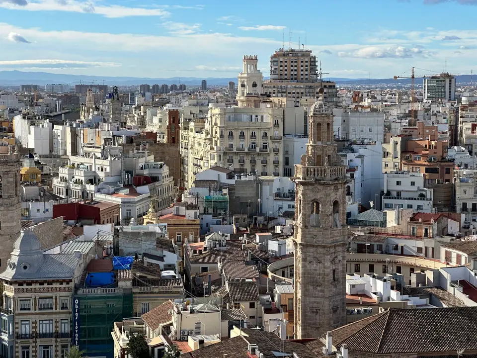
Why a 3D model: the digital twin of a historic façade
Photogrammetry with a metric camera and classical land surveying to obtain the 3D model and the plan of a historic façade before designing its restoration.
-
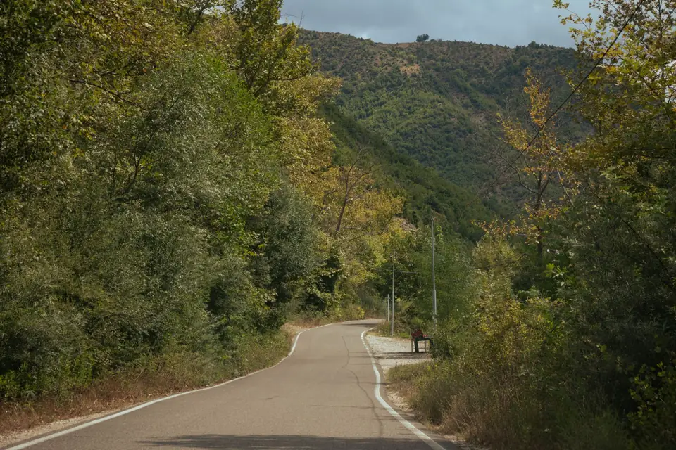
Vegetation volume with LiDAR: how many lorries are needed
How a drone and LiDAR gave the vegetation volume of a 10,113 m² plot in Xàbia (Jávea) before development, and how many lorries it would take to clear.
-

Earthworks volume with drone and LiDAR: the calculation
How excavated volume is calculated by subtracting two terrain models, with the case of an opencast site in the Vall d'Albaida surveyed with drone and LiDAR.
-
Orthophoto, DTM, DEM and contour lines explained
What makes an orthophoto different from an aerial photo, a DTM from a DSM, and what contour lines are for, with a large hillside site in Xàbia (Jávea).
-
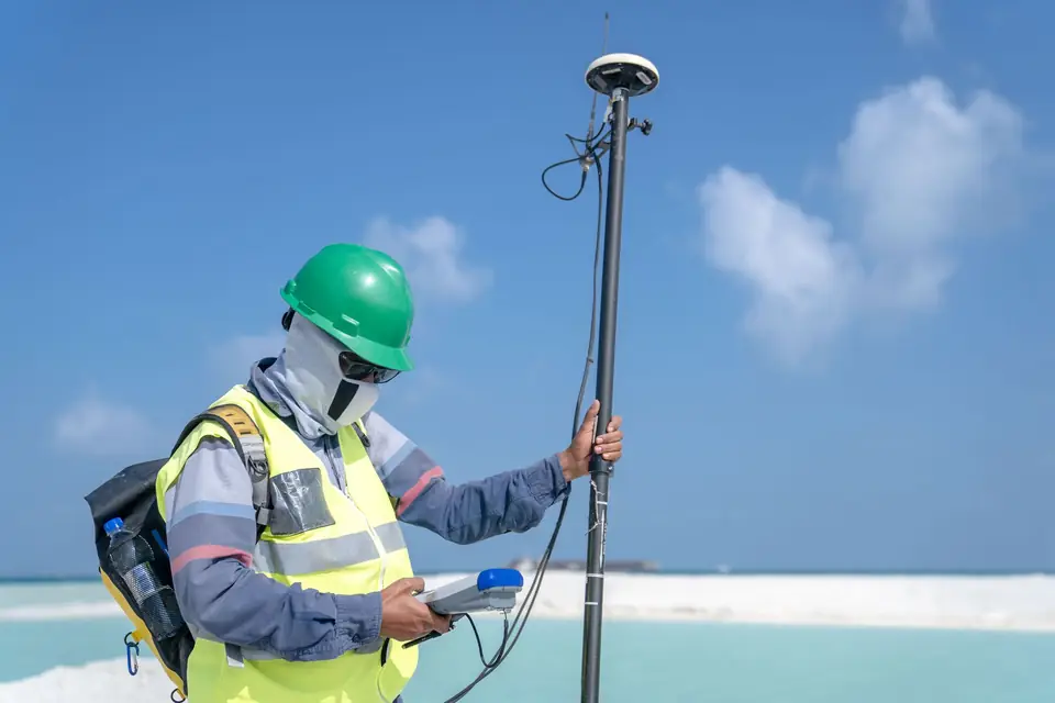
Topographic data sources: imagery, orthophotos, open data
An overview of the main sources of geopositioning and topographic data: satellite imagery, orthophotos, spatial data infrastructures and open data.
Tell us about your case
Do you have a similar case?
Tell us about it with the cadastral reference. We will look at it, tell you what work is needed and prepare a quote.
- Xàtiva
- C/ Ballesters Navarresos, 7 · 46800 Xàtiva
- Xàbia
- C/ Ausiàs March, 2 · 03730 Xàbia
- or write to
- hola@clotoides.com