Vegetation volume with LiDAR: how many lorries are needed
How a drone and LiDAR gave the vegetation volume of a 10,113 m² plot in Xàbia (Jávea) before development, and how many lorries it would take to clear.
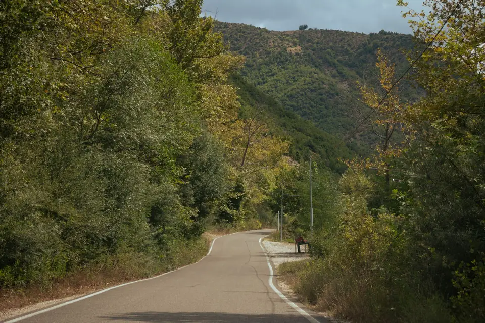
Calculating the volume of vegetation on a plot before building work seems a minor detail until the lorries have to be hired. With a drone and LiDAR you can measure how much green mass there is, how tall it is and how much material will come out when the land is cleared, before the first machine goes in. This is the case of a vegetated plot in Xàbia (Jávea) that was going to be developed, with the real figures from the calculation.
Why measure the volume of vegetation?
In la Marina Alta, many plots awaiting development are covered in pine woodland and scrub. Before moving earth, that green mass has to be removed, and that has a cost that depends on how much material comes out: how many skips, how many lorries, how many days of work. Estimating it by eye tends to end in quotes that fall short or in lorries that were not needed.
With a terrain model and a surface model, the estimate becomes a calculation.
How is it calculated?
The idea is to compare two surfaces, as in earthworks control, but vertically above the ground:
- The DSM or surface model: the elevation of the highest thing at each point, in this case the treetops.
- The DTM or terrain model: the elevation of the bare ground, beneath the vegetation.
The difference between the two is the height of the vegetation at each point. Added up over the whole area, it gives the gross volume: the volume the vegetation occupies from ground to canopy.
That gross volume includes a lot of air between the branches. To get to what actually has to be loaded, a correction factor is applied that converts the gross volume into a volume of solid wood. With that volume and the capacity of the lorries, you get the number of trips.
Why LiDAR and not just photos?
Because photogrammetry sees the treetops but not the ground beneath them. LiDAR emits laser pulses, and some of them pass through the gaps between branches and reach the ground. That way both models, the canopy and the ground, are obtained in a single flight. The aerial images from the photogrammetric flight complete the work with an orthomosaic of metric quality, useful for seeing how the vegetation is distributed and planning access.
In addition, comparing surface models from different dates makes it possible to analyse how vegetation evolves, which is useful for extraction estimates and monitoring.
The case: a plot in Xàbia before development
Before carrying out an urban development, the resources to remove the green mass from the plot had to be planned: how much material would come out and how many lorries would be needed.
What we did in the field
A drone survey, with LiDAR and aerial images, of the whole plot.
How we processed it
We generated the orthomosaic with metric quality and the DTM and DSM models. From the difference between them we obtained the volume of the vegetation, and then applied the correction factor to estimate the solid wood and the lorries required.
The figures
| Item | Value |
|---|---|
| Area analysed | 10,113 m² |
| Gross volume of vegetation | 66,348 m³ |
| Average height of vegetation | 6.56 m |
| Solid wood, after applying the correction factor | 1,990 m³ |
| Lorries required, 30 to 40 m³ capacity | about 60 |
The check is simple: 10,113 m² multiplied by an average height of 6.56 m gives, rounded, the gross volume. From there to the volume that gets loaded there is a big jump, because the crown of a tree is mostly air. Without that factor, the estimate of lorries would have shot up.
What we delivered
The DSM, the DTM and the calculations, with the gross volume, the estimated solid wood and the number of lorries.
What it was used for
To save time and money at the planning stage: whoever was carrying out the development knew in advance what volume would have to be removed and could size the resources accordingly, instead of finding out during clearance.
In what other cases is it useful?
- Fire prevention plans, to estimate the vegetation load on a plot or along a perimeter strip.
- Land clearance before building work, to quote with data.
- Monitoring vegetation over time, by comparing flights from different dates.
- Shadow and view studies, where the height of the trees changes the result.
Frequently asked questions
How precise is the volume?
The gross volume comes directly from the measured models. The conversion to solid wood depends on the correction factor, which is an estimate. That is why the result is useful for planning resources, not for weighing the wood.
Is it useful for a small plot?
Yes. The method is the same; on small plots a short flight is enough.
Can I use public LiDAR data?
For a first idea, yes. To plan building work, a current flight is advisable: vegetation grows, and the density of public data is usually lower than that of a drone flight.
If you need to quantify the vegetation on a plot before building work, we calculate it with LiDAR and point clouds and digital terrain models.
Tags datosanalisistoma de decisiontopografia
Written by Vicent Doménech, geodesy and cartography engineer, chartered surveyor no. 8948.


