Cadastre · · Updated on
IBI property tax: when measuring your plot helps
Clotoides helps to correct cadastral errors that lead to an overcharge on your IBI (annual property tax) bill.
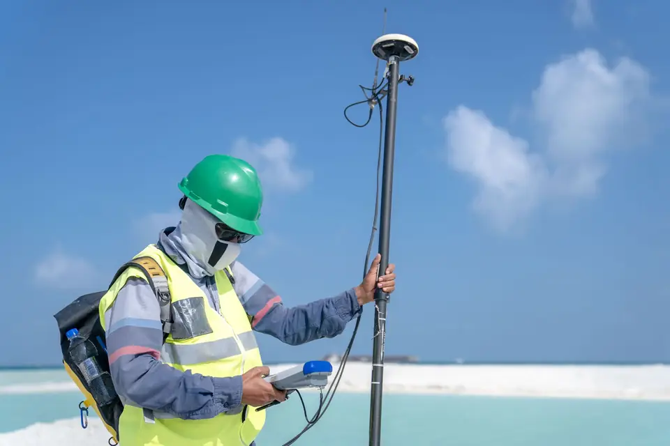
A higher IBI (annual property tax) bill may be due to an inaccuracy in the assessment of the property. In that case, you may want to consider having a topographic survey of your land carried out. A topographic survey is a process in which the shape and features of the land are measured and recorded in detail, which can help to establish the value of your property more precisely and fairly.
Reasons for carrying out a topographic survey
- Establishing the dimensions of the plot: a topographic survey can help to establish the dimensions of the plot precisely. This serves as a basis for paying a fair amount of IBI.
- Identifying problems on the plot: a topographic survey can reveal problems on the plot, such as drainage issues, steep slopes, watercourses and trees at risk of falling. All of this can affect the value of the property.
- Establishing the boundaries of the plot: a topographic survey can help to establish the boundaries of the plot precisely, which can avoid disputes with neighbours and with the local council.
- A topographic survey can show the improvements made to the plot, such as the construction of buildings, the installation of fences and the creation of gardens. These change the value of the property.
- Accurate assessment of the property: a precise topographic survey can help to establish the value of the property more fairly and accurately, which can prevent you from paying excessive tax.
In general, a topographic survey can be a valuable investment for any plot owner. It can help to establish the value of the property more fairly and precisely, which can affect how it is valued. If you think you have received an excessive tax bill for your plot, have a topographic survey carried out. It is a useful tool to help you demonstrate that the value of your property is lower than the value that has been set.
Tags catastrogeorreferenciacionibilevantamiento topograficoplanoprecisionpropiedadtopografia
Written by Vicent Doménech, geodesy and cartography engineer, chartered surveyor no. 8948.

