My plot does not match the title deed: a case
We measured a plot with and without the planter on its edge and compared it with the Cadastre, the Land Registry and the title deed to find the true boundaries.
When a plot does not measure what the title deed (escritura) says, it is almost never the fault of a single source. The deed, the Cadastre (Catastro, Spain’s land and property register for tax purposes) and what has been built on the ground were produced at different times and for different purposes. A land surveyor’s job is to measure what is there and set it beside everything else until there is only one answer. This case, with a planter on the edge of the plot, illustrates it well.
Why do the title deed, the Cadastre and the ground not match?
Each document describes the property in its own way:
- The title deed describes the property in words and with an area. If it is old, sometimes in hanegadas (a traditional Valencian land measure) or in ares and centiares, and almost never with coordinates.
- The Cadastre is an administrative map designed for taxation. It was drawn from flights and plans from another era, and in many areas it is shifted or simplified.
- The ground has walls, fences, kerbs and planters that have been built over the years, not always exactly on the boundary.
None of the three, on its own, tells you where your property ends. That is why measuring is not enough: you have to measure and compare.
The case: a planter that changed the area
The owner did not know for certain where the physical boundaries of his plot were. Along one of the edges there was a planter, and the question was whether that space was part of the property or not.
What we measured
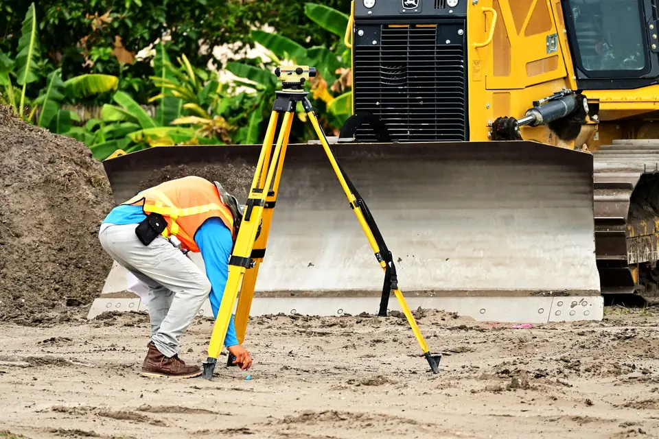
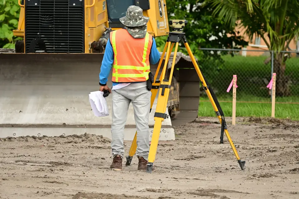
Using classic surveying methods, we surveyed every element that could be a boundary: walls, fences and the planter itself. With that data we closed two outlines of the plot, one including the planter and one without it, each with its vertices in coordinates.
What we analysed
We set four sources beside the survey:
- The catastro topográfico parcelario, the old cadastral mapping.
- The current and the historical Cadastre, to see how the plot had evolved.
- The area recorded at the Land Registry (Registro de la Propiedad).
- Our own field survey, with and without the planter.
What we found
There were three conclusions, and they were fairly clear:
- Neither the current nor the historical Cadastre represented the plot correctly. They got neither the exact location nor the shape right.
- With the planter, the property would have an excess of area (exceso de cabida), that is, more area than the title deed states. In addition, the town council’s technical officer had advised against touching the planter for planning regulation reasons.
- Without the planter, the measured area matched the area in the title deed exactly.
What we delivered
A plan with the boundaries of the property and the coordinates of each vertex, ready to be used in any later procedure.
How it ended
The owner now knows, with data, where his boundary is. We recommended that he go one step further: Cadastre and Land Registry coordination of the property. The plan is the technical basis; what gives that boundary legal certainty is the Land Registry recording it through its own procedure.
What does it mean when the measurement matches the title deed?
When the measured area matches the written one, that is very strong evidence, but it is not everything. Two plots with the same area can have different shapes. That is why we work with vertices in official coordinates (ETRS89) and not just with square metres: the area tells you how much, the coordinates tell you where.
In this case, that was precisely the deciding fact: the area without the planter was the one in the title deed, and the planter, moreover, was in a position that the town council recommended not altering. Everything pointed to the same place.
What should you do if your plot does not match either?
The order we follow is almost always this:
- Gather the documents: the title deed or a land registry extract (nota simple), the cadastral reference and any plan you have. We detail this in what documents a land surveyor needs to measure a property.
- Survey the physical elements, every one that could be a boundary, even if some are ruled out later.
- Compare with the current and historical Cadastre, the title deed and, if they exist, the plans of the residential estate.
- Decide the way forward: if the measurement confirms the title deed, coordinate with the Cadastre; if there is more or less land than recorded, consider an excess or shortfall of area procedure; if the problem is with a neighbour, a boundary demarcation (deslinde).
If you want to see the general approach to locating boundaries, we cover it in how do I identify the boundaries of my property.
Frequently asked questions
Can I add to my plot a space I have always used, such as a planter?
Using it does not make it yours. If it is not in the title, including it means declaring an excess of area that has to be justified, and if the space borders public land, the town council has a say. In this case, the area without the planter was the one that matched the title deed.
Can the Cadastre tell me where my boundaries are?
It is a useful reference, not a measurement. In this case, neither the current nor the historical Cadastre reflected the real position or shape of the plot. To know where the boundary is, you have to measure on the ground.
What is Cadastre and Land Registry coordination?
It means that the Land Registry records the graphic representation of the property and that this representation is the same one the Cadastre holds. It is processed through the notary or through the Land Registry itself, with the technical documentation that we prepare.
If you have doubts about the area or the boundaries of your plot, we start with a plot measurement and boundary survey and, when needed, we prepare the documentation for the Cadastre and the Land Registry.
Tags levantamiento topograficopropiedadcatastroplano
Written by Vicent Doménech, geodesy and cartography engineer, chartered surveyor no. 8948.