Cadastre ·
Cadastral update: which technician can carry it out?
Cadastral update in Spain: why a land surveyor is the right technician to measure your property and correct the data held by the Cadastre.
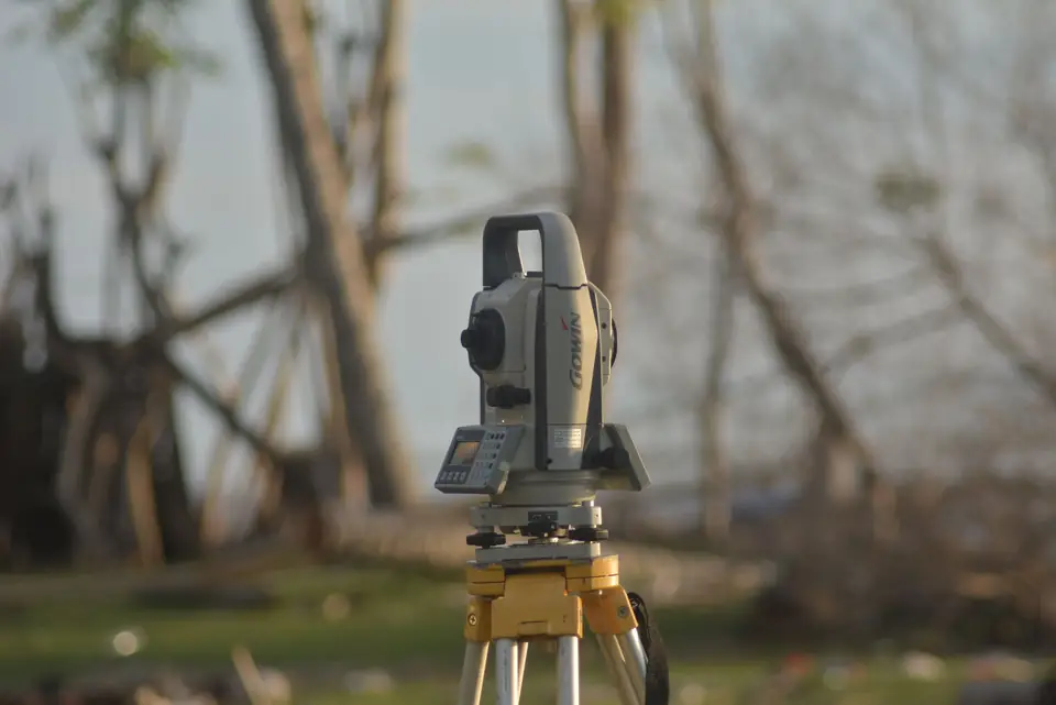
A cadastral update is a vital process for ensuring fair taxation and efficient urban planning. But who is the best technician to carry out this essential process? The answer is simple: land surveyors. These highly trained and experienced professionals have the knowledge and the tools needed to carry out the most accurate and reliable cadastral update.
Why land surveyors are the best choice for a cadastral update
Why are land surveyors the best option for a cadastral update? First of all, their experience in measuring and representing the territory allows them to take accurate measurements and establish the exact location of each property. In addition, land surveyors have an overall view of the territory, which allows them to analyse the data as a whole and make sure the information is accurate and reliable.
Technology and accuracy in the measurement
Land surveyors also keep up to date with the latest technology and tools available for taking measurements, such as drones and high-precision GPS. With these tools they can obtain detailed information about the territory in a short time, which speeds up the cadastral update and ensures the information is as accurate as possible.
Finally, land surveyors are highly specialised and committed to the quality of their work. They know that their work is essential for ensuring fair taxation and efficient urban planning, so they work diligently to guarantee the accuracy and reliability of the information.
Who to contact to update the Cadastre
In short, if you need to update the information held by the Cadastre (Catastro, Spain’s land and property register for tax purposes), do not hesitate to contact a trusted land surveyor. These specialists have the knowledge and the tools needed to carry out the most accurate and reliable cadastral update possible. With their help, you can make sure the information in the Cadastre is up to date and useful for the management of the territory and for the public administration.
Tags actualizacion catastralcatastrogeorreferenciacionibilevantamiento topograficopropiedad
Written by Vicent Doménech, geodesy and cartography engineer, chartered surveyor no. 8948.

