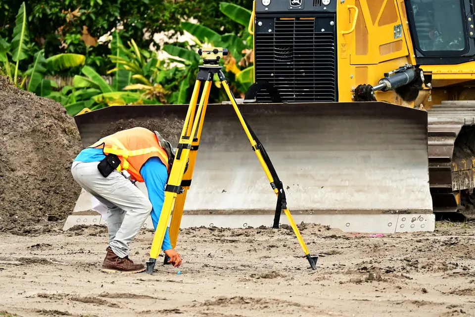
Save money on construction by measuring first
Topographic survey tips to save money on construction: how to reduce costs without sacrificing quality and get the project right the first time.

A topographic survey is a key tool for saving money on the construction of any project. By providing a detailed view of the land and its surroundings, it allows builders to anticipate problems and take preventive measures before they become costly obstacles.
How a topographic survey saves money during construction
Below are some of the ways in which a topographic survey can help save money during the construction of a project:
- Identifying access problems. A detailed topographic survey can reveal access problems at the construction site, for example if the land is too rough or steep, or if there are natural or artificial obstacles in the way, so that preventive measures can be taken.
- Planning the excavation. A topographic survey can also help in planning the excavation. By knowing the topography of the site, builders can optimise precisely the amount of earth that needs to be removed.
Risk areas and the location of structures
- Identifying risk areas. A detailed topographic survey can also help identify areas of potential risk, such as flood zones or areas prone to landslides. By knowing about these areas in advance, builders can take preventive measures, such as building retaining walls or raising the construction.
- Planning the location of structures. A topographic survey can also help in planning where structures are placed. By knowing the topography of the site, builders can locate structures in areas where the need for excavation is minimised and the natural conditions of the land are used to best advantage.
A sound investment at the start of the project
In short, a detailed topographic survey can help builders anticipate problems and take preventive measures to avoid costly surprises during construction. By investing in a topographic survey at the start of the project, builders can save time and money in the long run, which makes this tool a sound investment in any construction project.
Tags actualizacion catastraldeslindegeorreferenciacionibilevantamiento topograficoplanopropiedadtopografia
Written by Vicent Doménech, geodesy and cartography engineer, chartered surveyor no. 8948.