Mapping and surveying · · Updated on
Certificate of completion of works: why it matters
Certificate of completion of works (certificado final de obra): how a topographic survey by Clotoides helps you complete the paperwork for a new build.
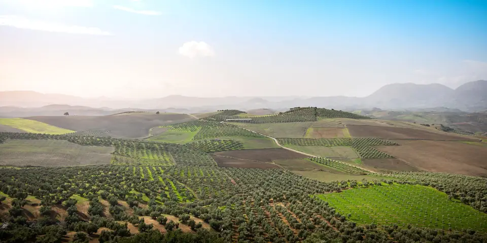
If you are reading this post, you are probably looking for a topographic survey for your certificate of completion of works (certificado final de obra). For those who do not know, a topographic survey is an essential tool for construction and engineering professionals. It is the process in which the surface and the physical features of a piece of land, such as its altitude and its planimetric coordinates, are measured and represented on a plan.
Reasons why you need a certificate of completion of works
-
Construction planning: a topographic survey is essential for planning the construction of your completed project. The topographic plan provides accurate information about the land, which allows architects and engineers to design and plan the construction in a way that makes the most of the space.
-
Compliance with legal requirements: in many cases a topographic survey is needed to meet legal requirements. For example, in some areas a topographic survey is required before construction to make sure the project complies with local codes and regulations.
-
Risk assessment: a topographic survey can also help assess the risks associated with the land, such as the possibility of flooding or landslides. This allows construction professionals to take preventive measures to minimise the risks.
Complete your project with a topographic survey
In short, if you want to complete your project successfully, a topographic survey is a necessity. It will allow you to plan the construction, comply with the legal requirements and assess the risks associated with the land. Do not hesitate to get in touch with a topographic survey professional for more information on how they can help you with your completed project.
Tags georreferenciacionibilevantamiento topograficomapaplanopropiedadtopografia
Written by Vicent Doménech, geodesy and cartography engineer, chartered surveyor no. 8948.


