Certifying the surface area of a plot in Spain
Certify the surface area of a property in Spain: Clotoides measures the real boundaries and issues a surveying certificate with legal validity.

If you need to certify the surface area of a property, we are the right company for you. We have extensive experience in carrying out topographic surveys to certify the real surface area of any type of property.
The reasons for requesting these certificates are very varied, from discrepancies between official bodies to valuations and appraisals. In this respect, it is important to have accurate and reliable information to avoid legal problems.
How we prepare the certificate
In our certification process, we carry out a preliminary study of all the existing information about your property, which allows us to decide the best way to carry out the work. If there are no problems with the neighbouring owners, a topographic survey that establishes the position of the boundaries in line with all the information analysed is usually sufficient.
If there are problems with the neighbours, it is necessary to lodge an appeal with the Cadastre (Catastro, Spain’s land and property register for tax purposes) or even to go to court. In both cases the technical work is the same: we transfer the information in the official documents onto the ground, or we prepare a topographic plan from the existing information.
Techniques for certifying the surface area
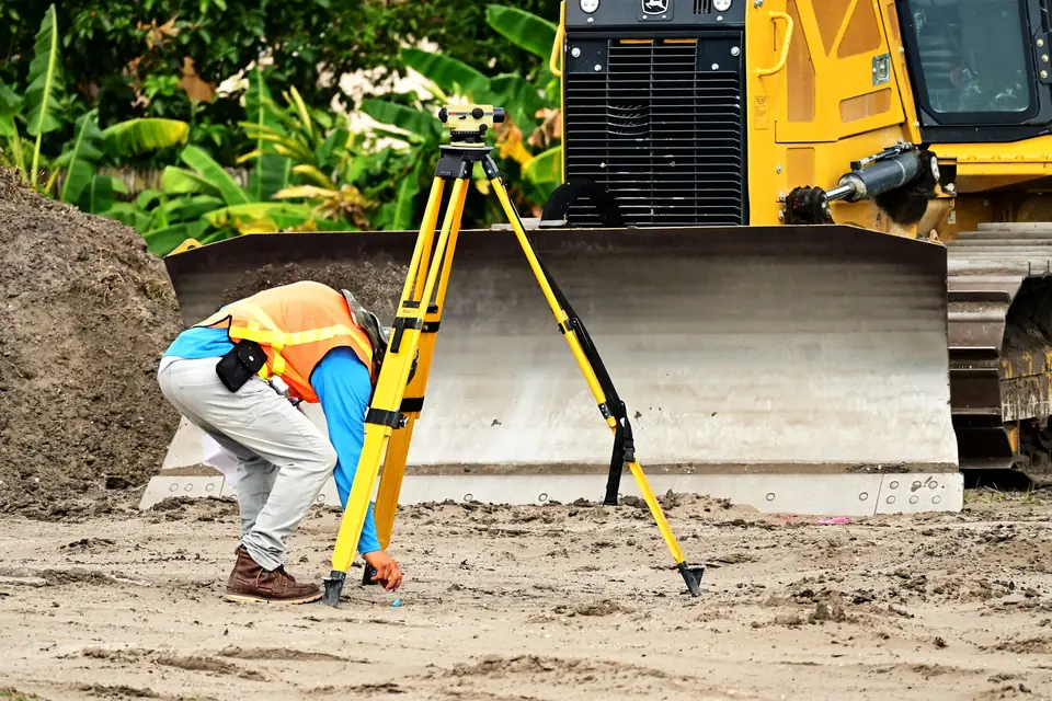
Next, we carry out the fieldwork, travelling to the property and marking out the exact boundaries of the estate. We use high-precision equipment such as GPS or total station to obtain reliable geographic positioning data. Once the data have been collected, we create a topographic plan and a report that certifies the real surface area of the property.
Our surface area certificates have legal validity and can be submitted as evidence in court to defend the real surface area of your property. In addition, our surveying certificates are stamped (visado) by the Official College of Geomatics and Surveying Engineering (Ilustre Colegio Oficial de Ingeniería Geomática y Topográfica), which guarantees the quality and professionalism of our work.
If you need a surveying certificate, do not hesitate to contact us. We offer a quality service and we will prepare a quote with no obligation. Rely on us to ensure the accuracy and reliability of your survey data.
Tags georreferenciacionlevantamiento topograficoplanopropiedad
Written by Vicent Doménech, geodesy and cartography engineer, chartered surveyor no. 8948.