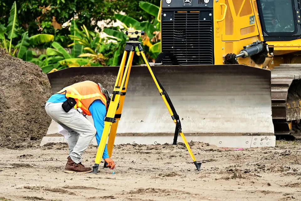
Accurate topographic plans made by a land surveyor
Clotoides has the precision technology and the experience needed to produce accurate and rigorous topographic plans.
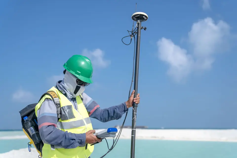
Land surveyors are technicians who specialise in measuring and representing the surface of the earth, on both urban and rural land. Their work is essential for producing accurate and rigorous plans that allow important decisions to be taken in different fields, such as the construction of buildings, the delimitation of land and land planning.
Why is it so important to rely on a professional land surveyor to prepare plans? Here are some of the most relevant reasons:
Specialist knowledge for producing accurate plans
Land surveyors have specific training in techniques for measuring and representing the surface of the earth, which allows them to apply precise and rigorous methods to the preparation of plans. They also keep up to date with the latest measuring technologies and tools, which allows them to take more exact and efficient measurements.
Experience in the field
Land surveyors are experts in working in the field and in different geographical conditions. They know the limitations and difficulties that can arise in each project and how to overcome them in the best way.
Interpretation of data
Land surveyors do not only take measurements; they also interpret the data obtained in order to produce accurate plans. This requires an in-depth knowledge of the regulations and laws in force in each territory.
Fewer errors and accurate mapping
Producing inaccurate plans can have serious long-term consequences, such as the wrong delimitation of land or buildings constructed in the wrong place. Relying on a professional land surveyor reduces the margin of error and guarantees that the plans produced are accurate and rigorous.
In conclusion, relying on a professional land surveyor to prepare accurate and rigorous plans is essential to guarantee the success of projects in different fields. Their experience, specialist knowledge and application of precise and rigorous methods make land surveyors the technicians best prepared to carry out this type of work.
Tags georreferenciacionlevantamiento topograficoplanotopografia
Written by Vicent Doménech, geodesy and cartography engineer, chartered surveyor no. 8948.