Topographic survey · · Updated on
Site topographic surveys: what is measured, step by step
Surveys, setting out, geometric control, DTM and DSM, LiDAR, orthophotos, profiles and volumes: the measurements a construction project needs, one by one.
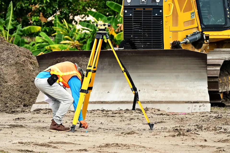
A construction project needs topographic measurements from before the design stage right through to completion. This article summarises what a land surveyor measures at each stage and what the site management receives. If you want the detail of each service, it is in surveying for construction and civil engineering.
Topographic surveys and setting out
The topographic survey measures the geometry, levels and features of the land before the design stage. Setting out does the opposite: it transfers the elements defined in the project (axes, foundations, alignments) onto the ground with a total station or GNSS RTK. The resulting plans and data are the basis for building, civil engineering and land planning projects.
Construction control
During construction, levels, alignments, gradients, areas and built elements are checked. This control detects deviations in time and provides a record that the works are being carried out according to the project. The usual approach is to schedule visits at the milestones set by the site management: foundations, structure, site works.
Digital terrain model (DTM) and digital surface model (DSM)
From topographic, GNSS, photogrammetric or LiDAR data we generate the DTM (the bare ground) and the DSM (including buildings and vegetation). They make it possible to analyse levels, gradients, areas and volumes, and they are the basis for contour lines and profiles.
LiDAR survey
LiDAR records high-density point clouds that represent the land and its features with precision, even under vegetation. From the classified point cloud we produce DTMs, DSMs and 3D models.
Orthophotography
Using photogrammetry and drones we obtain orthophotos of metric quality: georeferenced images on which you can measure and digitise, useful for mapping, engineering projects, the Cadastre (Catastro, Spain’s land and property register for tax purposes) and land analysis.
3D modelling
Three-dimensional models of the land, buildings and infrastructure, generated from topographic, photogrammetric and LiDAR data, are used to visualise, measure, plan and control the project.
Longitudinal profiles and cross sections
They define the geometry of the land along an axis and in its cross sections, in order to analyse level differences, gradients and earthworks. They are essential for roads, tracks, linear works and infrastructure.
Earthworks calculation and control
By comparing surveys and digital terrain models we calculate the volumes of excavation, cut, fill and stockpiles, in order to optimise the works and verify the site measurements.
When does a construction project need a land surveyor?
Before the design stage, so that it starts from the real ground; at the start, for setting out; during construction, for control; and at the end, to certify what has been built. If you have a project under way or in the design stage, tell us what stage it is at and we will tell you which measurements it needs.
Tags levantamiento topograficotopografiareplanteo de terrenosplano
Written by Vicent Doménech, geodesy and cartography engineer, chartered surveyor no. 8948.

