Cadastre ·
Graphic validation report: what it is and what it is for
Clotoides carries out the survey work, analysis and plans needed to obtain the graphic validation report required by the Cadastre and the Land Registry in Spain.
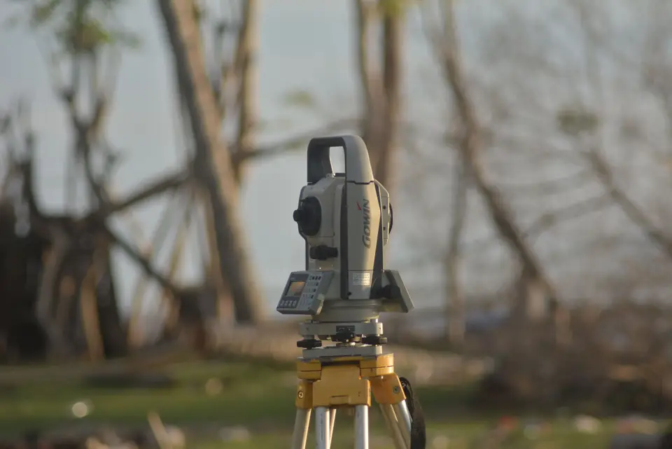
The graphic validation report on georeferencing under the Spanish Mortgage Act (Ley Hipotecaria) and the rules of the Cadastre (Catastro, Spain’s land and property register for tax purposes), together with its definitions, are fundamental to understanding the new concepts and techniques for identifying real estate. Modern geomatic engineering is key to guaranteeing the legal certainty of mortgage transactions in Spain, through the georeferenced graphic representation of the parcels that are the object of the right.
Cadastral cartography as the basis for the Land Registry
The Spanish Mortgage Act establishes that the basis for the graphic representation of registered properties must be the cadastral cartography, and the descriptive and graphic certificate issued by the Cadastre is an extract of the entire cadastral cartography of Spain. The georeferenced representation in the graphic validation report refers to the use of coordinates to assign a spatial location to cartographic features, in the UTM ETRS89 coordinate system.
The alternative georeferenced graphic representation
For its part, the alternative georeferenced graphic representation must present another plan with the same geometry as the Cadastre plan, but with the necessary corrections and any modification or registration of a new property, including the symbols that represent the areas of different use and the attributes of the cadastral parcel that identify the sub-parcels in accordance with the Cadastre’s regulations.
Tags actualizacion catastralcatastrolevantamiento topograficoplanotopografia
Written by Vicent Doménech, geodesy and cartography engineer, chartered surveyor no. 8948.

