Urban planning compatibility certificate: how to get it
We help you with the urban planning compatibility certificate (certificado de compatibilidad urbanística) that town councils require for an opening licence.
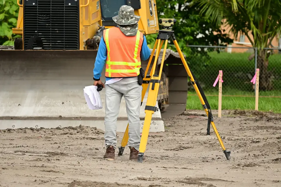
If you have a business and want to set it up in new premises, you will probably need to obtain a certificate of urban planning compatibility (certificado de compatibilidad urbanística). Its purpose is to make sure that your activity is compatible with the planning regulations and the municipal by-laws. To obtain this certificate, you must have a georeferenced plan prepared by a land surveyor.
What the georeferenced plan shows
The georeferenced plan is an essential tool for establishing the exact location of your business in relation to the planning and municipal regulations. It is a plan that shows the position, boundaries and dimensions of the plot, as well as the position of the activity within the urban environment. The georeferenced plan also includes information on the topography, the levels and the physical characteristics of the land, which makes it possible to assess whether the location is suitable for the activity you want to carry out.
Why a land surveyor should prepare it
A land surveyor is the right professional to prepare the georeferenced plan needed to obtain the certificate of urban planning compatibility. Surveying specialists have the knowledge and technology needed to take precise and reliable measurements and to interpret the information collected. They can also advise you on the planning and municipal regulations and on the options available for adapting your activity to the legal requirements.
In short
If you want to set up your business in new premises, do not hesitate to rely on a land surveyor to obtain the certificate of urban planning compatibility. With their experience and knowledge, you can make sure that your activity complies with the regulations and the municipal by-laws, and so avoid legal and financial problems in the future.
Tags georreferenciacionlevantamiento topograficoplanotopografia
Written by Vicent Doménech, geodesy and cartography engineer, chartered surveyor no. 8948.


